¥43,506
Consumption Sales Tax-Inclusive Price
Ships from Hong Kong.
Most customers receive within 10-17 days.
Meet Your Seller
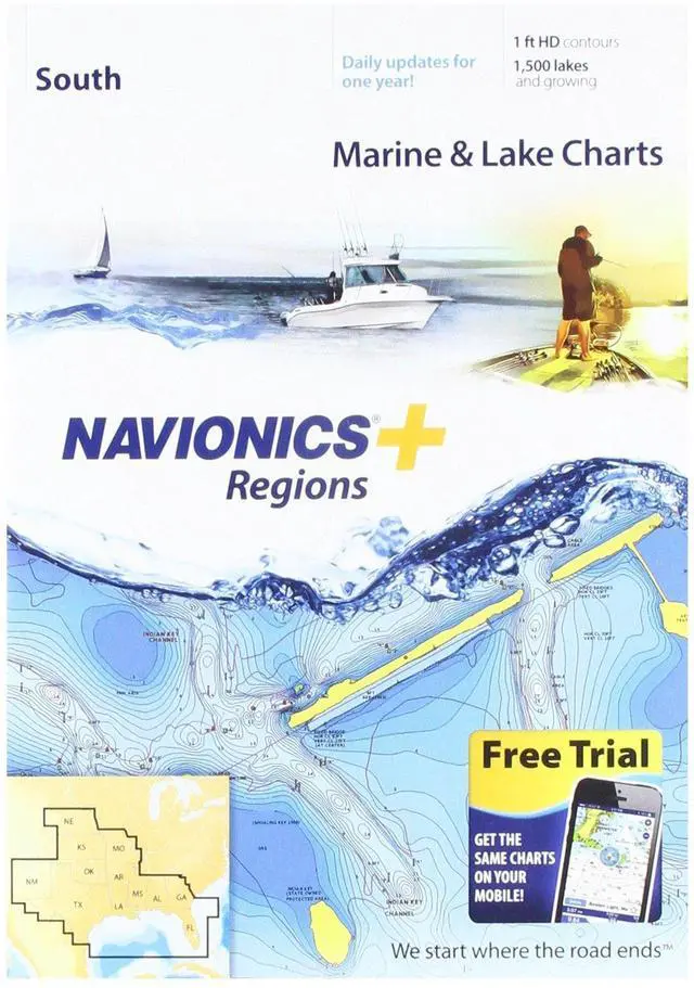
Navionics Plus Regions South Marine and Lake Charts on SD/MSD
- Max detailed charts for cruising, fishing and sailing.
- Get full marine coverage out to Bimini and West End, plus more than 1,400 lakes in AL, AR, FL, GA, KS, LA, MO, MS, NE, NM, OK and TX.
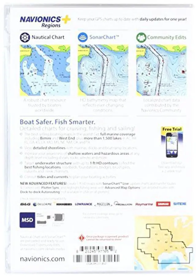
- Includes SonarChartTM 1 foot HD bathymetry map that reflects ever changing conditions, and Community Edits, valuable local information added by millions of Navionics Boating app users.
- Get the most current charts every day with daily updates for one year.
+
+
Overview
Specs
Reviews
View detailed shorelines with marinas, docks and boat ramp locations. Increase your awareness of shallow waters and hazardous areas at any depth level including shoals, rocks, wrecks and more. Consult tides and currents. Fish smarter with up to 1 foot HD contours. You will find the best fishing spots with roadbeds, foundations, bridges, brush piles, culverts and creek channels. Enhance your favorite areas. SonarChartTM becomes more precise every day with sonar logs contributed by the Navionics Community from all major plotter/sonar brands and mobile devices. And with SonarChartTM Live, you can create real time personal 1 foot HD bathymetry maps on your plotter or mobile and upload sonar logs to Navionics.
Navionics charts are updated with around 2, 000 edits per day. You will have the latest Nautical Chart, SonarChartTM and Community Edits enriched with information from official sources, our own surveys and research, and contributions from fellow boaters. Additional features including Plotter Sync, Dock to dock Autorouting, SonarChart Live display on plotter and Advanced Map Options are available with select Raymarine models. Nautical Chart and SonarChart are preloaded and ready to use. Download daily chart updates and Community Edits for one year.

Warranty & Returns
Warranty, Returns, And Additional Information
Return Policies*
- Return for refund within: 30 days
- Return for replacement within: non-replaceable
- This item is covered by Byteful Return Policy
- *Subject to applicable law
Warranty Notice:
This product does not include manufacturer warranty when purchased or used outside of its designated sales region. By purchasing internationally, you acknowledge that warranty support from the manufacturer will not be available.
Manufacturer Contact Info
- For a directory of all our manufacturers, please click below.
- Manufacturers Directory
LOADING...