

Your Browsing History
- $2,990.00
- Free 30-day Returns
Ships from Hong Kong.

Meet Your Seller


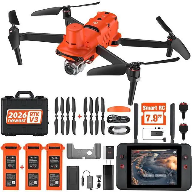
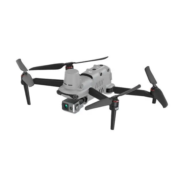
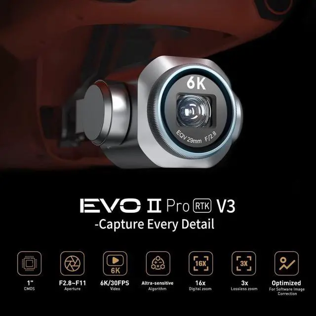


Autel EVO II RTK V3, featuring centimeter-level positioning, a Sony 1-inch 6K HD camera, and a flight time of 38 minutes; ideal for surveying, modeling, and emergency search and rescue operations
- Authorized by AUTOL ROBOTICS USA: We are Autel Robotics longest-standing and largest
- distributor. For many years, we have maintained a close partnership with Autel, providing our
- customers with high-quality products and exceptional after-sales service.
- With our extensive industry experience and solid technical expertise, we are able to offer
- customized solutions and professional technical support, while also providing comprehensive U.S.
- maintenance and repair services for all drones;
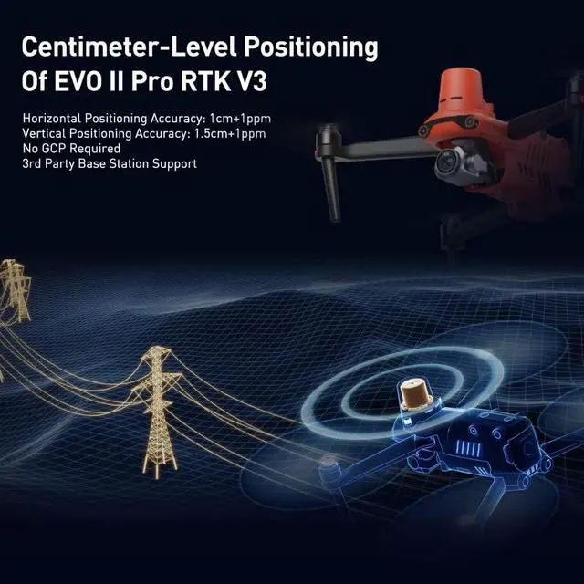
- 2026 RTK Module for Real-Time Center-Level Positioning: With 0.4 in + 1 ppm (horizontal) and 0.6 i
- in + 1 ppm (vertical) positioning accuracy, the Autel EVO 2 RTK V3 integrates a completely new RTK
- module that provides real-time, centimeter-level positioning data. a. Our positioning system
- supports both RTK base stations and RTK networks, which help ensure stable and accurate data
- acquisition in complex operating environments;
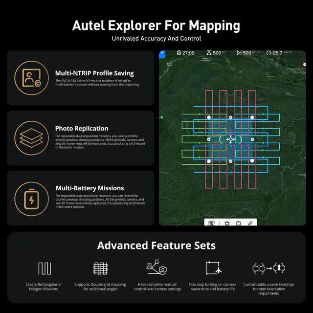
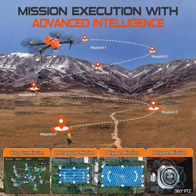
- Mission execution with advanced intelligence: After creating a flight path (waypoint mission,
- rectangular mission, polygon mission, oblique photography), the EVO II RTK can fly the designated
- flight path autonomously, enabling a smoother and more efficient flight.;
- For repeatable data acquisition missions, you can record the EVO II RTK v3s previous shot
- positions. All gimbal and camera movements will be replicated, thereby producing a complete
- record of the entire mission;
+
+
Overview
Specs
Reviews

Any questions? Our AI mode will help you find out quickly.
Try me now
Construction Planning and Design: EVO 2 RTK V3 positioning data can be used to create accurate 2D and 3D models during aerial site surveys to streamline planning and inform design. Construction Management: EVO 2 RTK V3 solutions help manage every step of the construction process to monitor progress, reduce risks, and keep personnel safe. K V3 Solutions: Quickly collect accurate, geotagged data, while photogrammetry software processes this data to deliver standardized outputs. EVO 2 RTK V3 data creates accurate 2D and 3D models that integrate seamlessly with local geographic information systems, helping teams visualize results. Architecture, Engineering, and Construction (AEC) map, model, and inspect with D-r-. o-n-e solutions. Automate workflows and digitize your assets with the EVO 2 RTK V3. Law EnforcementLaw enforcement agencies are adopting versatile Autel aerial robots to assist with incident response, rapid mapping, and reconnaissance to facilitate informed action while ensuring maximum safety for people. Rescue ServicesRescue workers are turning to Autel. Solutions to assist in search and rescue missions. Deployed on land or at sea, they can efficiently scan large areas and help identify people in distress thanks to the high-resolution digital sensors on the Autel EVO II V3.
Warranty & Returns
Warranty, Returns, And Additional Information
Warranty
- Please contact the Seller directly for warranty information. Warranty information may also be found on the Manufacturer's website.
- CONTACT
Return Policies
- Return for refund within: 30 days
- Return for replacement within: non-replaceable
- This item is covered by Sixvery Digital Store Return Policy
Manufacturer Contact Info
- For a directory of all our manufacturers, please click below.
- Manufacturers Directory
LOADING...