Your Browsing History
- $169.99
- Free 30-day Returns

Meet Your Seller
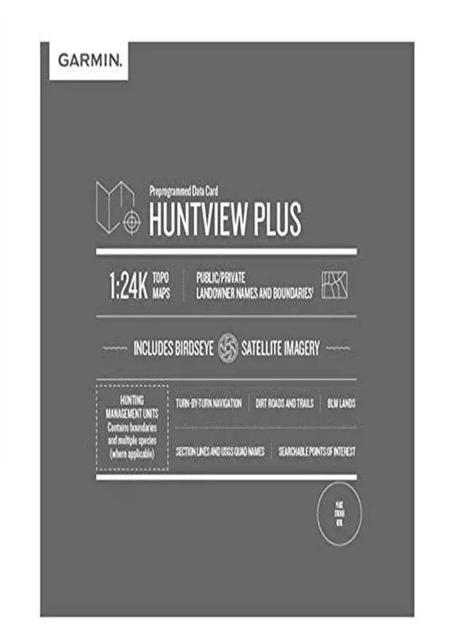


Huntview Plus, Preloaded microSD Cards With Hunting Management Units for Handheld GPS Devices
Limited time offer, ends 07/31 By YingLiYingMeiKeJi
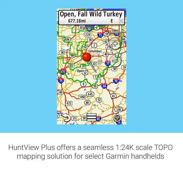
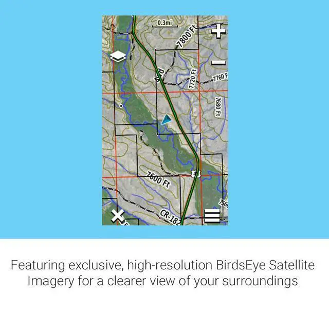
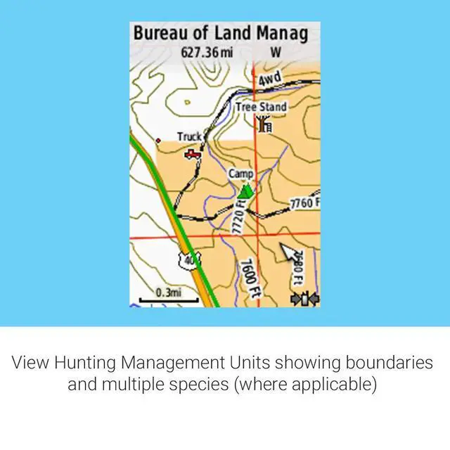
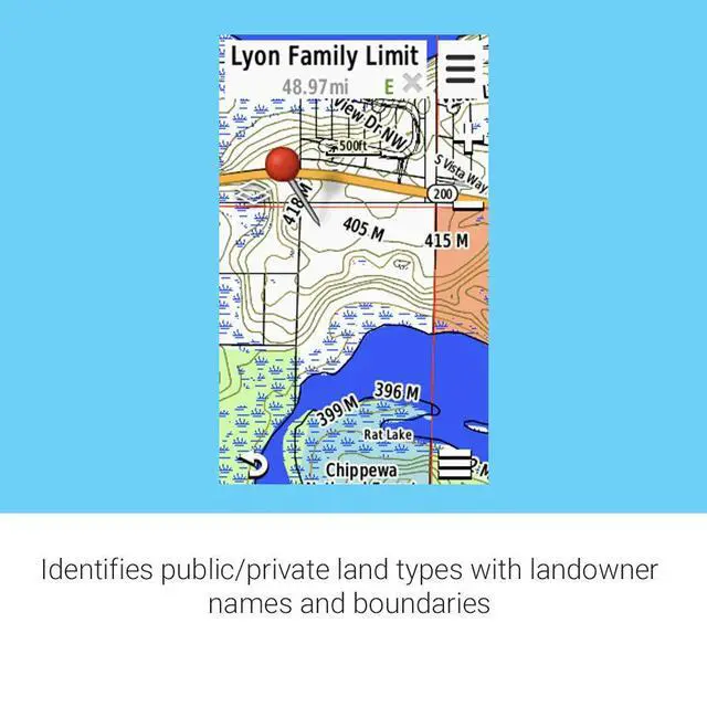
- Now features hunting management units with boundaries and multiple species (where available). Displays landowner names and boundaries for public and private land types, using data from various sources for enhanced coverage and detail. Digital topography equivalent to 1:24,000 scale U.S. Geological Survey maps. Shows thousands of routable roads and trails with turn-by-turn navigation from the field. Includes searchable points of interest such as parks, summits, geographic place names, camping areas, businesses, and more
+
+
Overview
Specs
Reviews
Any questions? Our AI beta will help you find out quickly.
Try me now
Now features hunting management units with boundaries and multiple species (where available). Displays landowner names and boundaries for public and private land types, using data from various sources for enhanced coverage and detail. Digital topography equivalent to 1:24,000 scale U.S. Geological Survey maps. Shows thousands of routable roads and trails with turn-by-turn navigation from the field. Includes searchable points of interest such as parks, summits, geographic place names, camping areas, businesses, and more
Warranty & Returns
Warranty, Returns, And Additional Information
Warranty
- Please contact the Seller directly for warranty information. Warranty information may also be found on the Manufacturer's website.
- CONTACT
Return Policies
- Return for refund within: 30 days
- Return for replacement within: 30 days
- This item is covered by YingLiYingMeiKeJi Return Policy
Manufacturer Contact Info
- For a directory of all our manufacturers, please click below.
- Manufacturers Directory
LOADING...