Your Browsing History


Any questions? Our AI beta will help you find out quickly.
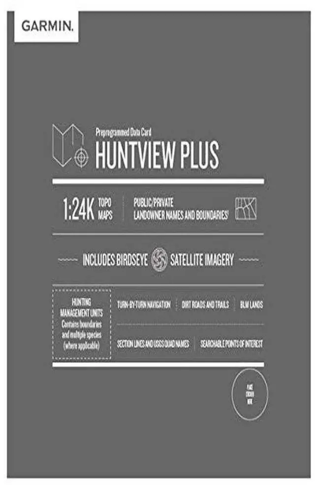
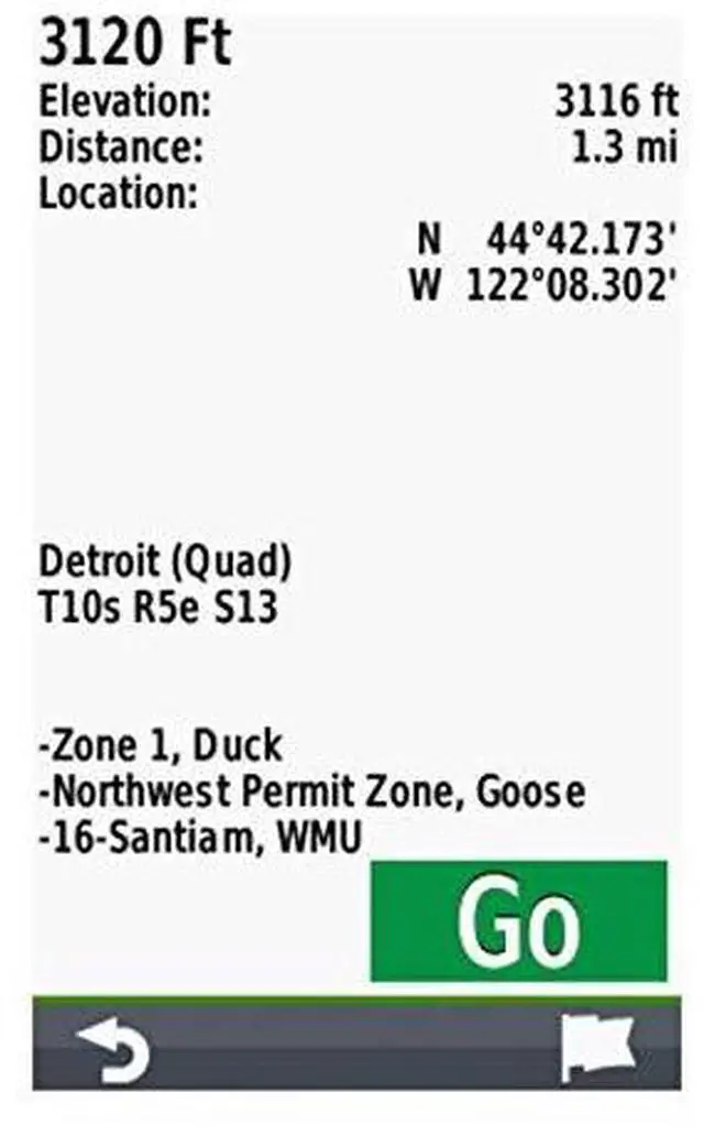
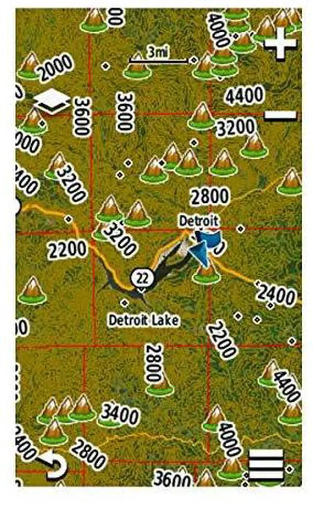
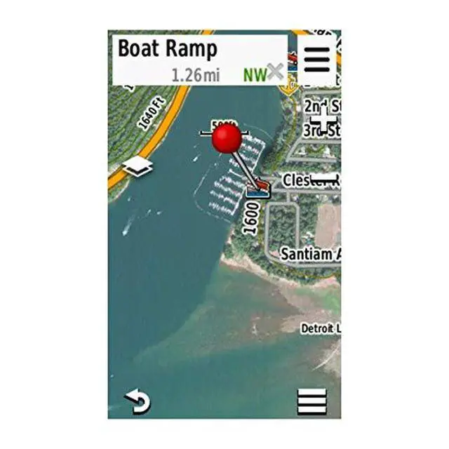
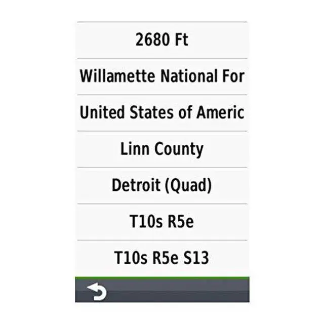
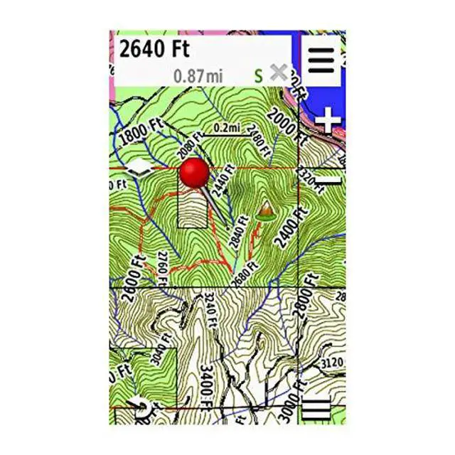
Easy-to-use mapping solution for hunters and outdoors enthusiasts insert a pre-loaded microSD card or download the maps to a blank microSD card from your computer. Identifies landowner names and boundaries for public and private land types, utilizing data from multiple sources for excellent coverage and detail. Digital topography equivalent to 1:24,000 scale U.S. Geological Survey maps. Displays thousands of routable roads and trails with turn-by-turn navigation. Contains searchable points of interest: parks, summits, geographic place names, camping areas, businesses, and more