Your Browsing History


Any questions? Our AI beta will help you find out quickly.
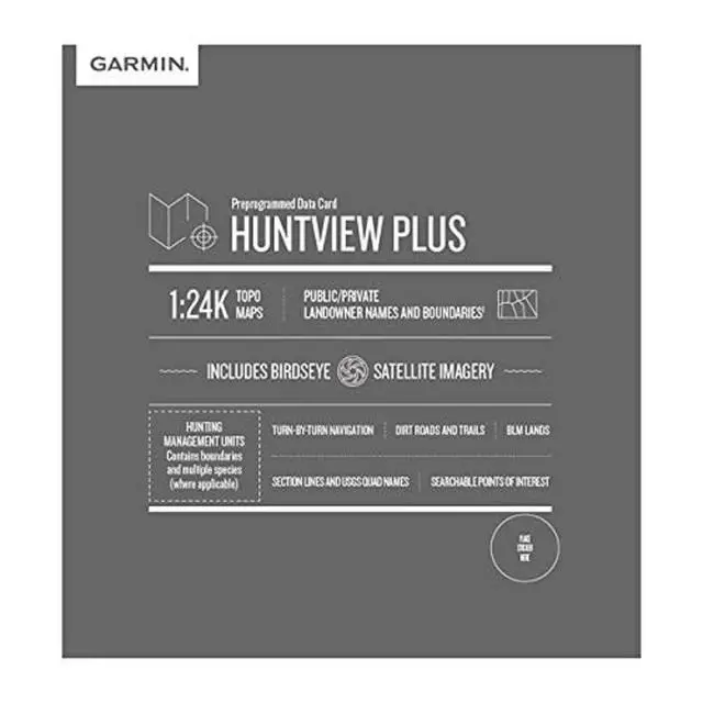
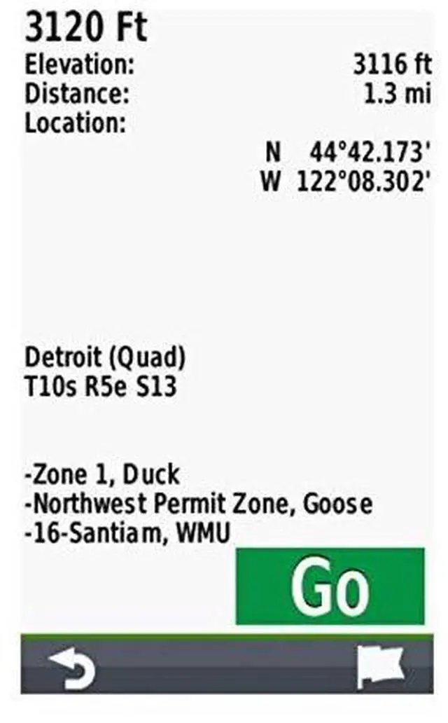
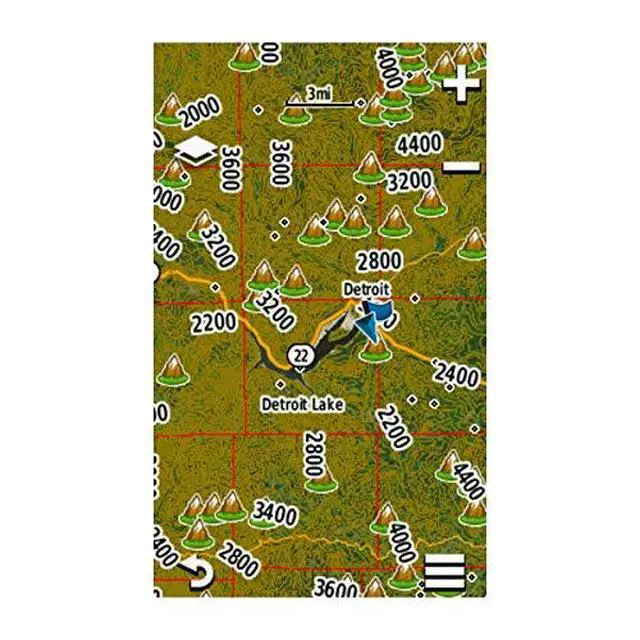
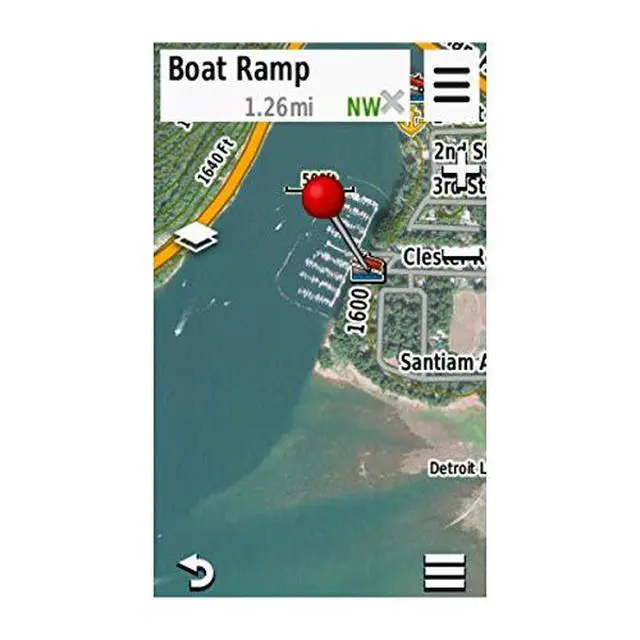
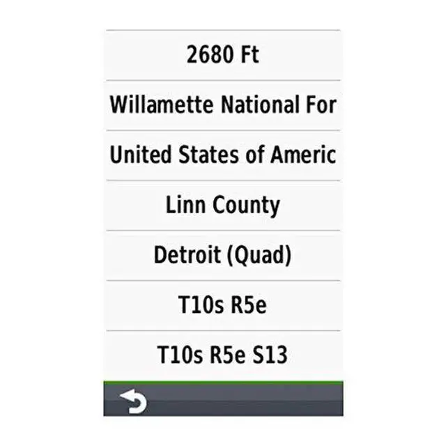
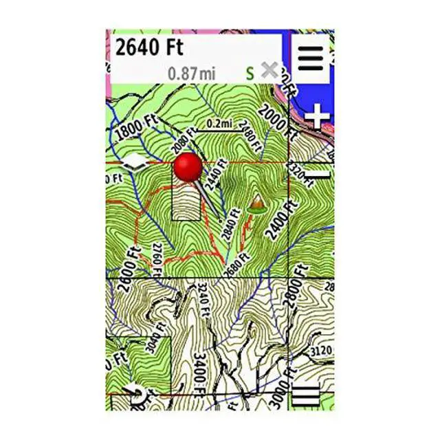
Easy-to-use mapping solution for hunters and outdoors enthusiasts plug-in microSD card or download the mapping to a blank microSD card from home. Identifies landowner names and boundaries for public and private land types, using data from multiple sources for excellent coverage and detail. Digital topography equivalent to 1:24,000 scale U.S. Geological Survey maps. Shows thousands of routable roads and trails with turn-by-turn navigation. Includes searchable points of interest: parks, summits, geographic place names, camping areas, businesses, and more