

Your Browsing History



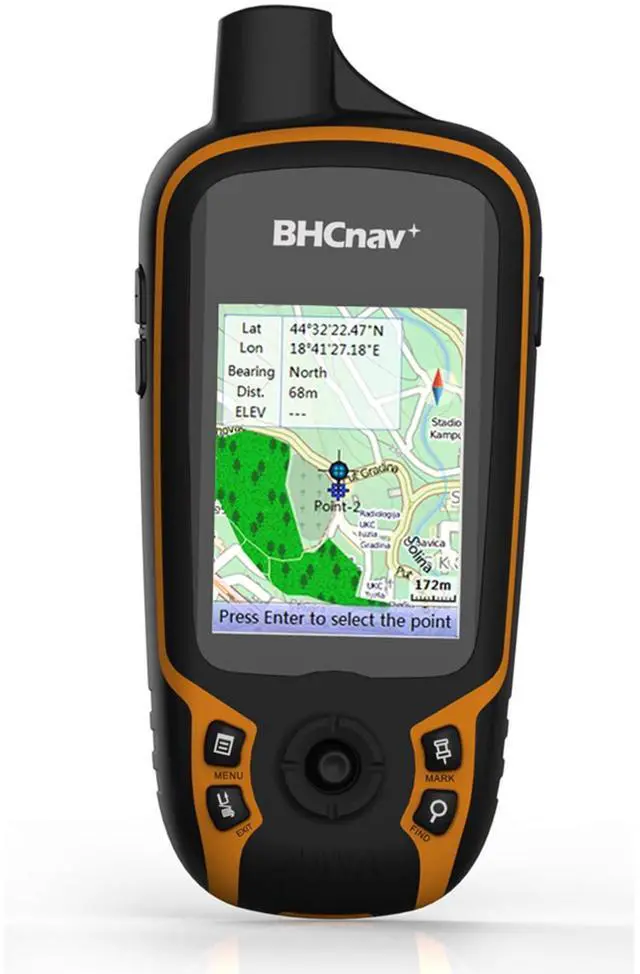
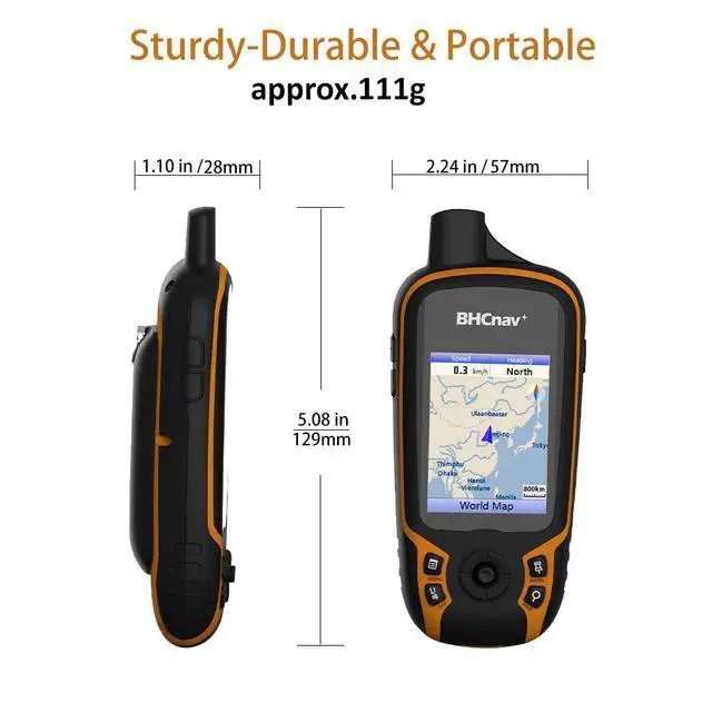
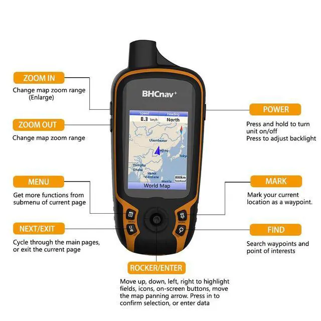
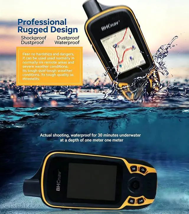


NAVA F30 Handheld GPS Navigation Device, Colorful Map Display, Land Accuracy Surveying Equipment for Outdoor Hiking Hunting Traveling Adventures
Limited time offer, ends 09/18 By JadeEssence Shop
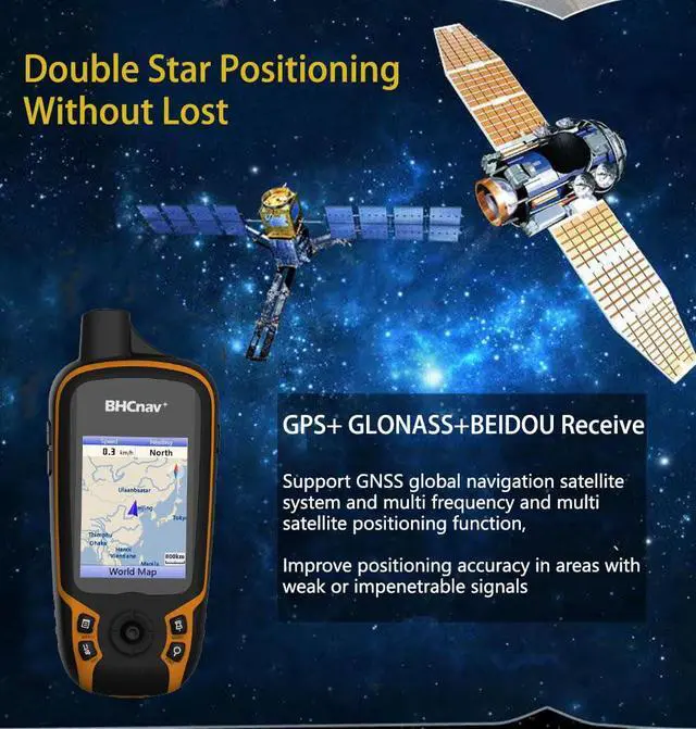
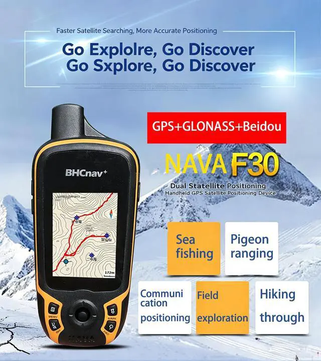
- The F30 is a robust GPS and GLONASS receiver suitable for a wide range of applications such as agriculture, outdoor camping, hiking, forest surveying, land surveying, mining, and other outdoor tasks. It contains 4 GB of internal memory and accommodates up to 32GB TF card memory expansion. It operates on two AA batteries, providing up to 20 hours of usage. The unit features a 2.2" QVGA, 240x320 pixel transflective color display that remains clear in sunlight. It is compatible with GPS, GLONASS, and BEIDOU satellite systems. A worldwide basemap is pre-installed, and it also facilitates paperless geocaching, vector maps (city detail maps), DEM maps, and raster maps. The included GPS office software enables data transfer between the device and your PC. It accepts multiple GPS data formats for sharing, including GPX, SHP, MIF, CSV, KML, DXF, and TXT, allowing you to handle, export, and import your waypoints, tracks, and routes. It supports four languages: English, French, Spanish, and Portuguese
+
+
Overview
Specs
Reviews

Any questions? Our AI mode will help you find out quickly.
Try me now
The F30 is a robust GPS and GLONASS receiver suitable for a wide range of applications such as agriculture, outdoor camping, hiking, forest surveying, land surveying, mining, and other outdoor tasks. It contains 4 GB of internal memory and accommodates up to 32GB TF card memory expansion. It operates on two AA batteries, providing up to 20 hours of usage. The unit features a 2.2" QVGA, 240x320 pixel transflective color display that remains clear in sunlight. It is compatible with GPS, GLONASS, and BEIDOU satellite systems. A worldwide basemap is pre-installed, and it also facilitates paperless geocaching, vector maps (city detail maps), DEM maps, and raster maps. The included GPS office software enables data transfer between the device and your PC. It accepts multiple GPS data formats for sharing, including GPX, SHP, MIF, CSV, KML, DXF, and TXT, allowing you to handle, export, and import your waypoints, tracks, and routes. It supports four languages: English, French, Spanish, and Portuguese
Warranty & Returns
Warranty, Returns, And Additional Information
Warranty
- Please contact the Seller directly for warranty information. Warranty information may also be found on the Manufacturer's website.
- CONTACT
Return Policies
- Return for refund within: 30 days
- Return for replacement within: 30 days
- This item is covered by JadeEssence Shop Return Policy
Manufacturer Contact Info
- For a directory of all our manufacturers, please click below.
- Manufacturers Directory
LOADING...