

Your Browsing History

Meet Your Seller

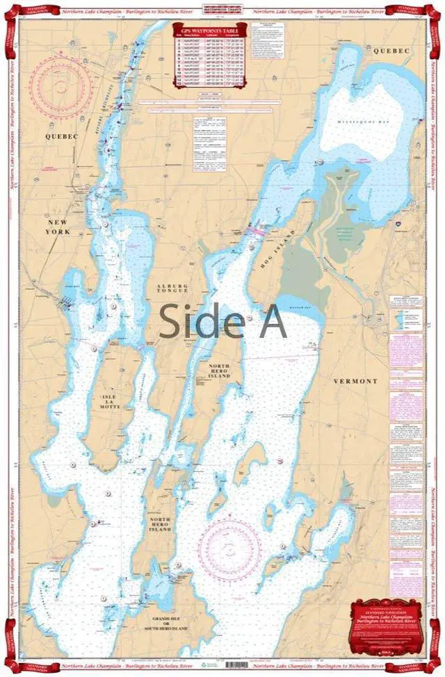
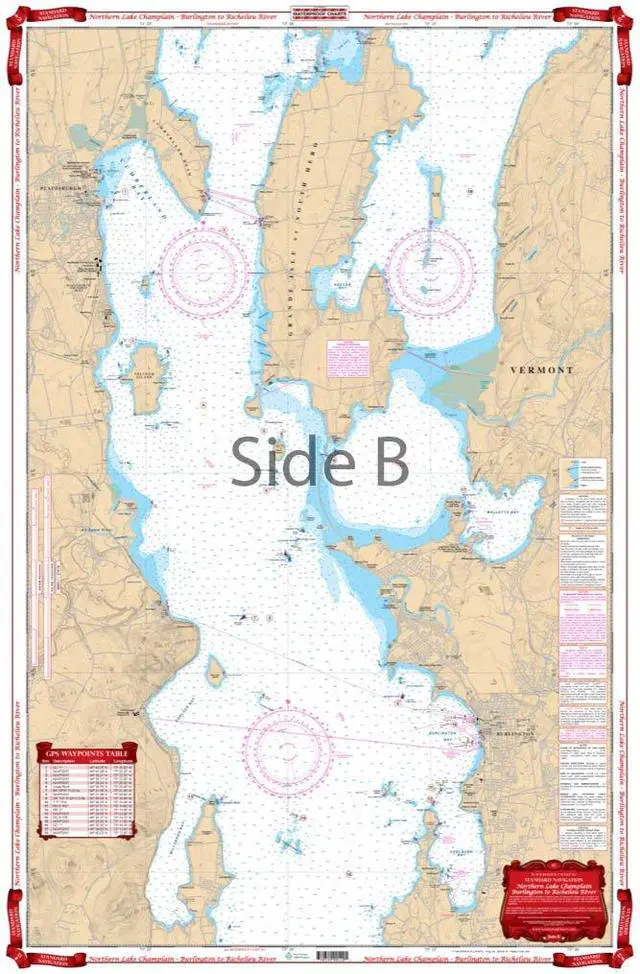


Standard Navigation, 12 Northern Lake Champlain - Burlington to Richelieu, Easy-to-Read, Waterproof Paper, Tear Resistant, Printed on two sides, 2 charts in 1, NOAA ChartsRiver
- Starting at Willsboro and Shelburne Points, coverage extends north to and including Missisquoi Bay and the Rt 202 Bridge on the Richelieu River in Canada. Includes Malletts Bay and all of the Champlain Islands. When youre headed out on Lake Champlain, youll need this marine map. You wont find a more detailed nautical map than this, or a more eye-catching oneyou will want to frame this and hang it in your home or office. Starting at Willsboro Point and Shelburne Point, coverage extends north to and including Missisquoi Bay and the Route 202 Bridge on the Richelieu River in Canada. This navigation chart also includes Malletts Bay and all of the Champlain Islands
+
+
Overview
Specs
Reviews

Any questions? Our AI mode will help you find out quickly.
Try me now
Starting at Willsboro and Shelburne Points, coverage extends north to and including Missisquoi Bay and the Rt 202 Bridge on the Richelieu River in Canada. Includes Malletts Bay and all of the Champlain Islands. When youre headed out on Lake Champlain, youll need this marine map. You wont find a more detailed nautical map than this, or a more eye-catching oneyou will want to frame this and hang it in your home or office. Starting at Willsboro Point and Shelburne Point, coverage extends north to and including Missisquoi Bay and the Route 202 Bridge on the Richelieu River in Canada. This navigation chart also includes Malletts Bay and all of the Champlain Islands
Warranty & Returns
Warranty, Returns, And Additional Information
Warranty
- Please contact the Seller directly for warranty information. Warranty information may also be found on the Manufacturer's website.
- CONTACT
Return Policies
- Return for refund within: 30 days
- Return for replacement within: 30 days
- This item is covered by QiPing Global Store Return Policy
Manufacturer Contact Info
- For a directory of all our manufacturers, please click below.
- Manufacturers Directory
LOADING...