Garmin BlueChart® g3 Vision VUS512L, Mid-Atlantic
Brand New Includes One Year Warranty
Product # 010-C0741-00 (SD Card)
Replaces:
Product # 010-C0379-00 (microSD/SD Card)
Product # 010-C0058-00 (Datacard)
Product # 010-C0490-00 (microSD/SD Card)
Product # 010-C0061-00 (Datacard)
Product # 010-C0371-00 (microSD/SD Card)
Product # 010-C0050-00 (Datacard)
Product # 010-C0372-00 (microSD/SD Card)
Product # 010-C0051-00 (Datacard)
The Garmin BlueChart® g3 Vision VUS512L navigation software contains detailed and updated coastal coverage charts of Mid-Atlantic with integrated Garmin and Navionics® data.
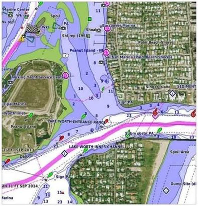
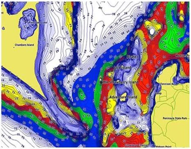
The charts have up to 1 ft contours to display a more accurate, enhanced and detailed picture of the bottom structure including that of swamps, canals, and marinas.
It employs Auto Guidance Technology that uses the desired depth of the user and the overhead clearance to calculate a route and suggest the user a path to follow.
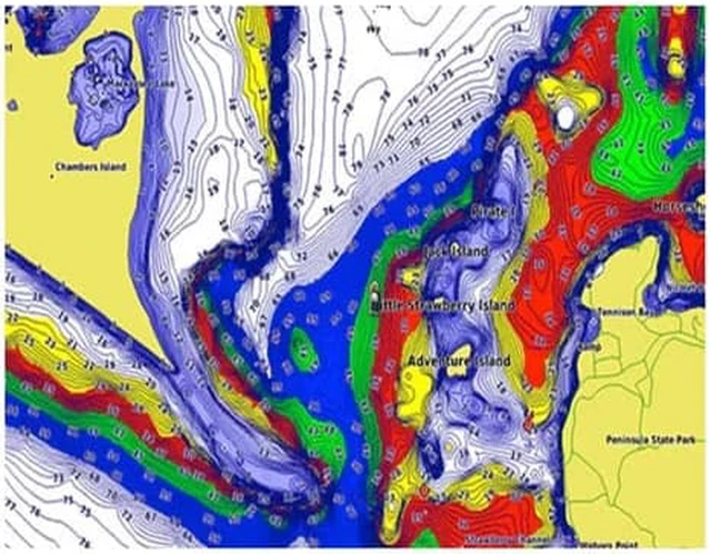
BlueChart® g3 Vision charts feature up to 10 depth ranges as a part of its high-resolution Depth Range Shading, letting users clearly see their target depth.
With Shallow Water Shading, the charts further allow using shading to mark shallow water depths that the user might need to avoid.
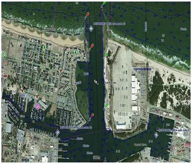
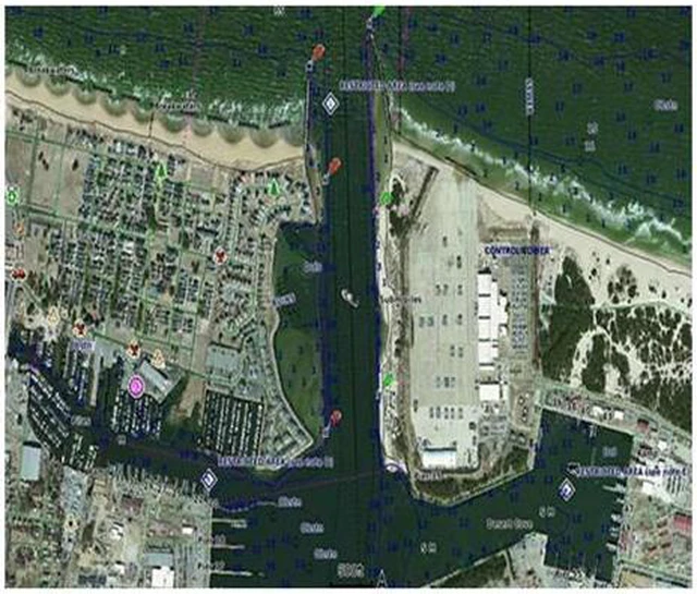
The High-resolution Satellite Imagery with navigational charts overlaid gives you a realistic view of your surroundings.
Unique 3D Views like MarinerEye and FishEye provide additional perspective, both above and below the water line.
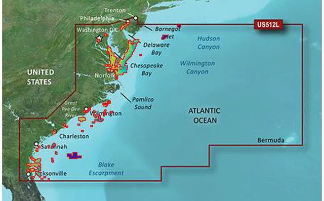
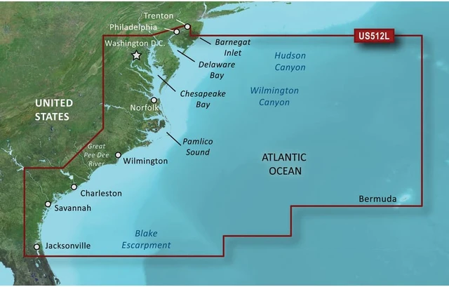
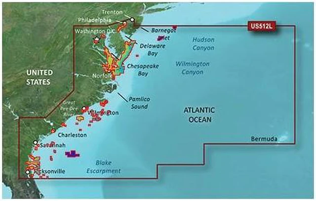
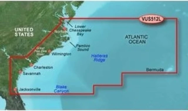
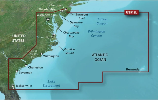
This map provides coverage of the East Coast from Barnegat Inlet, NJ through Jacksonville, FL, to Bermuda. Coverage includes the Delaware River to Trenton, NJ; the Chesepeake Bay in full; the Albemarle and Pamlico Sounds in full; Cape Fear, NC; the Savannah R. to Augusta, GA; and the St. Johns R. to Hastings, FL. It also includes bathymetric coverage from Hudson Canyon to the Blake Escarpment, including the Wilmington, Baltimore and Washington Canyons, Charleston Valley, and the Savannah Seachannel.
BlueChart®;
g3 Vision VUS512L Features:
Mid-Atlantic Digital Map
Premier Coastal Chart Coverage
Up to 1' Detailed Contours
- More Accurate Picture of Bottom Structure
- Improved Fishing Charts & Navigation
- Enhanced Detailing in Swamps, Canals, Marinas & Port Plans
High-Resolution Depth Range Shading
- Up to 10 High-Resolution Depth Ranges
- Displays Shaded Target Depths
Shallow Water Shading
- Allows Map Shading at User-Defined Depth
- Clear Display of Shallow Waters to Avoid
Auto Guidance Technology
- Uses Desired Depth & Overhead Clearance to Calculate Route & Suggest Path to Follow
Integrated Garmin & Navionics® Data
High-resolution Satellite Imagery
High-resolution Relief Shading
- Combines Color and Shadow to Give You an Easy-to-interpret, Clearer View of Bottom Structure than Contour Lines Alone
FishEye & MarinerEye View
NOAA Raster Cartography
- Paper Chart-like Views of NOAA-Surveyed Areas
- Available As Free Download Via ActiveCaptain® App
Industry-Leading Clarity & Detailing





 here!
here!