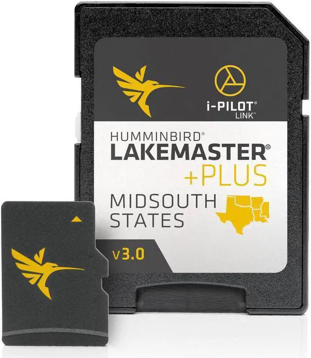
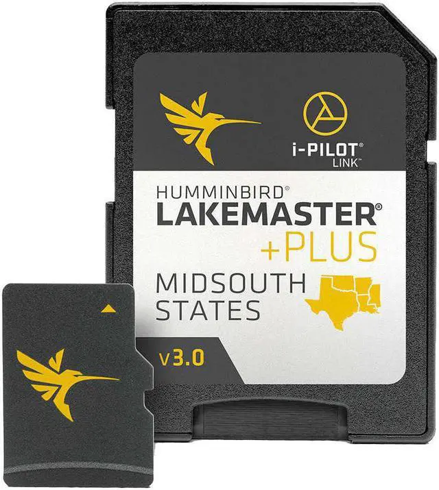
Lakemaster Plus Chart - Mid-south States
Brand New
Includes 30-Day Cartography Warranty
Product # 600009-8
The Humminbird LakeMaster PLUS Chart - Mid-South States - Version 2 Map Card features many FRESHWATER lakes in Texas, Oklahoma, Arkansas, Louisiana and Mississippi, all on one micro card and SD adapter map card. Also new, Plus Version 2
includes detailed coastal shoreline from Texas to Mississippi that allows anglers with i-Pilot Link to follow the shoreline at a specified offset for hands-free fishing in shallow coastal areas. Great for fishing around mangroves, islands and inter-coastal waterway
shorelines.
The Lakemaster PLUS also has a Aerial imagery layer for HD lakes that shows the colored LakeMaster map and the aerial imagery extends around the body of water.
Mid South States Plus Features:
Mid-South States Edition - Version 2
Contours for over 300 Lakes
i-Pilot Link COMPATIBLE
Easy to Read Contours
Depth Highlight Range
Water Level Offset
Shallow Water Rock Piles
Scrollable Lake List
Mid-South States
The Mid-South States PLUS Edition map card features over 300 total lakes with contours, of which 212 are now high-definition lakes, including these highly requested bodies of water:
-Beaver, AR
-Sardis, MS
-Sardis, OK
-Fort Gibson, OK
-McGee Creek, OK
-Bull Shoals, AR-MO
-Table Rock, AR-MO
-Toledo Bend, TX (Partial HD)
-Ross Barnett, MS
-Pickwick, MS
-Plus Many more!
Please Note: Opened packages will not be eligible for return.