Your Browsing History


Any questions? Our AI beta will help you find out quickly.
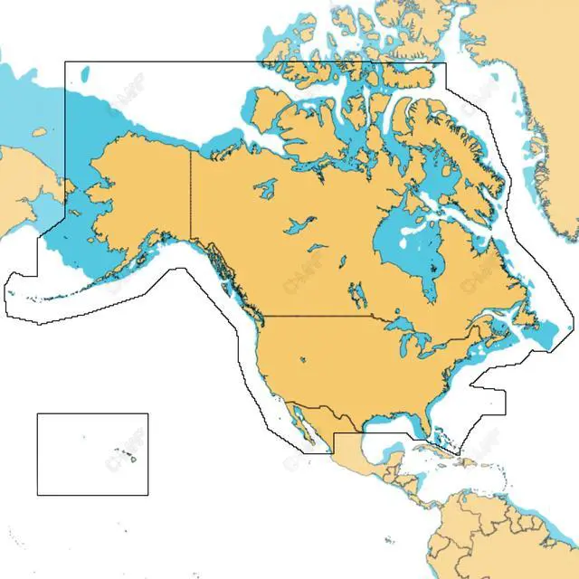
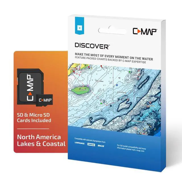
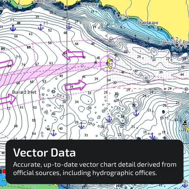
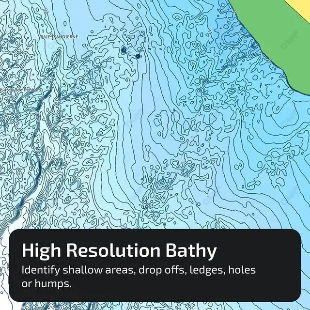
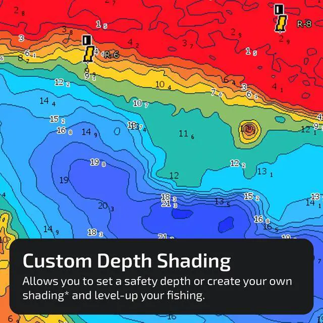
ULTRA-WIDE COVERAGE: Our most extensive geographical coverage, without sacrificing chart quality. FULL-FEATURED VECTOR CHARTS: Makes navigation simple by delivering precise, current vector chart detail sourced from official Hydrographic Office data. HI-RES BATHYMETRY LAYER: Assists in identifying shallow zones, drop-offs, ledges, holes, or humps. Now incorporates the finest HRB data, with integrated Genesis social map information. SUBSCRIPTION-FREE AUTOROUTING: Automatically calculates the shortest, safest route based on detailed chart data and your personalized vessel settings. CUSTOM DEPTH SHADING: Define a clear safety depth, keep a paper-like view, or generate your own custom shading. COMPATIBILITY: This DISCOVER product is compatible only with the following models: Lowrance HDS PRO, HDS LIVE, HDS CARBON, Elite-FS, Elite-Ti2, Elite-Ti, and Eagle; Simrad NSSevo3s, NSSevo3, and NSSevo2; B&G NSOevo3s, NSOevo3, NSOevo2, and Go. INSTALLATION: This product arrives pre-programmed on a Micro-SD card placed in an SD adapter. Most chart plotters include a Micro SD card reader. To utilize this chart, the Micro-SD card must be taken out of the SD adapter