Your Browsing History


Any questions? Our AI beta will help you find out quickly.
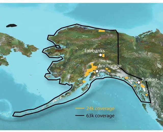
Provides comprehensive digital topographic maps, similar to 1:24,000 scale USGS maps. Includes detailed hydrographic features, such as coastlines, lake and river shorelines, wetlands, and perennial and seasonal streams. Search for points of interest, like cities, summits, lakes, and campsites. Offers elevation profile on compatible devices to assess terrain difficulty. Features numerous routable trails, rural roads, city neighborhood roads, major highways, and interstates, compatible with routable trails, rural roads, city neighborhood roads