

Your Browsing History
- Free 30-day Returns
$488.53


Meet Your Seller

Get Educated
Make informed decisions with expert advice. Learn More
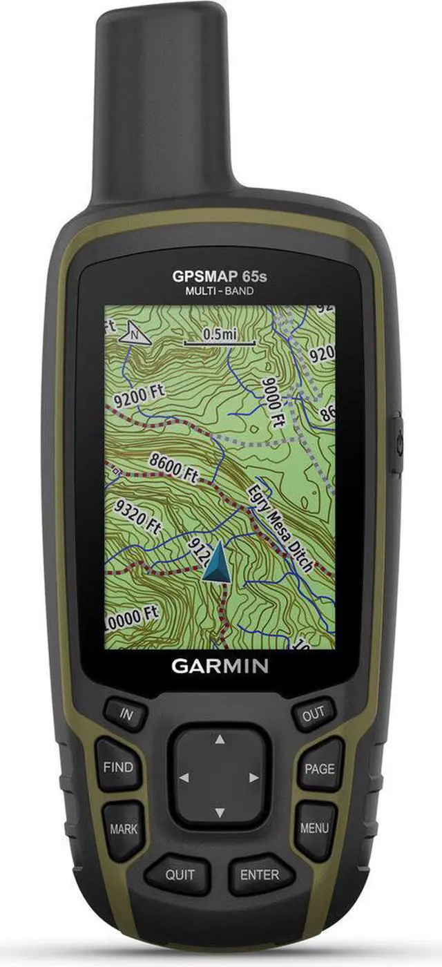
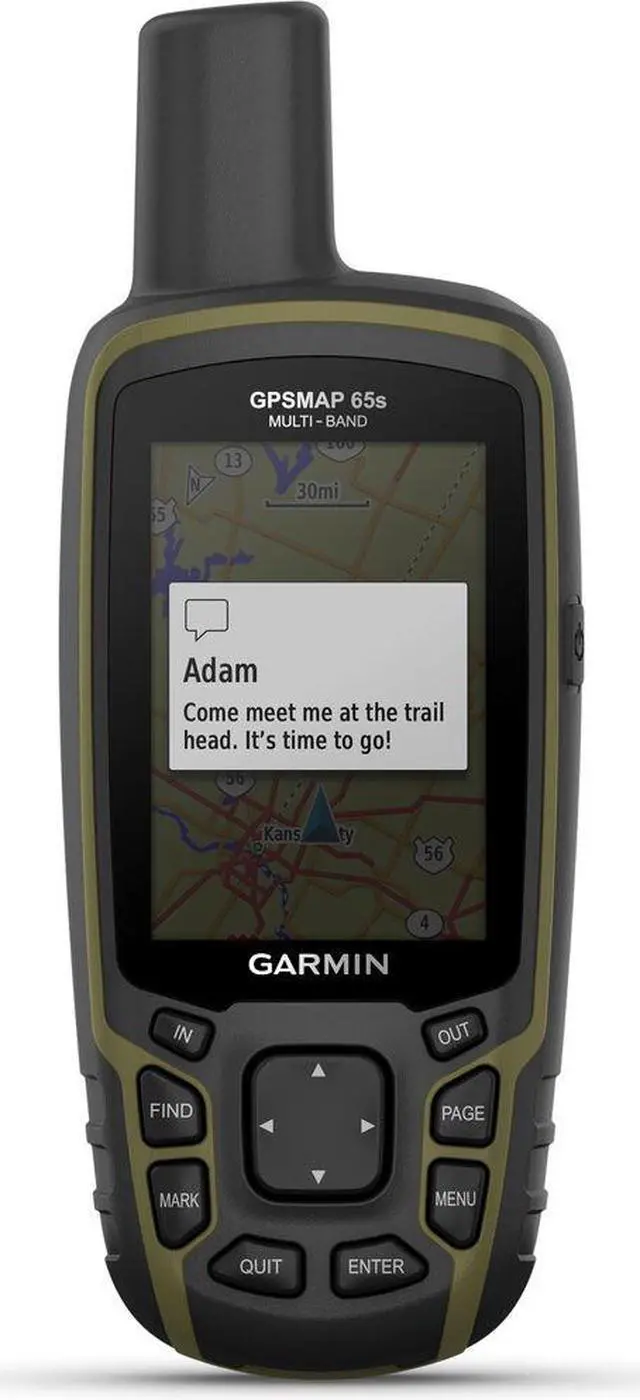
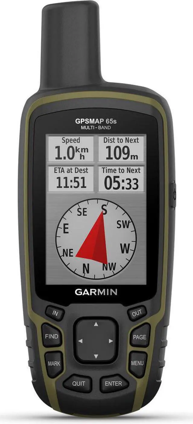
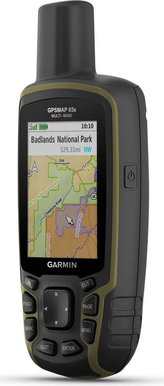
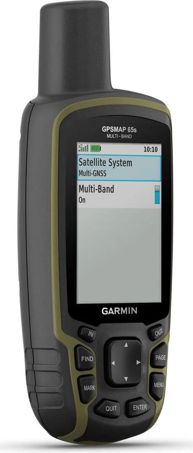
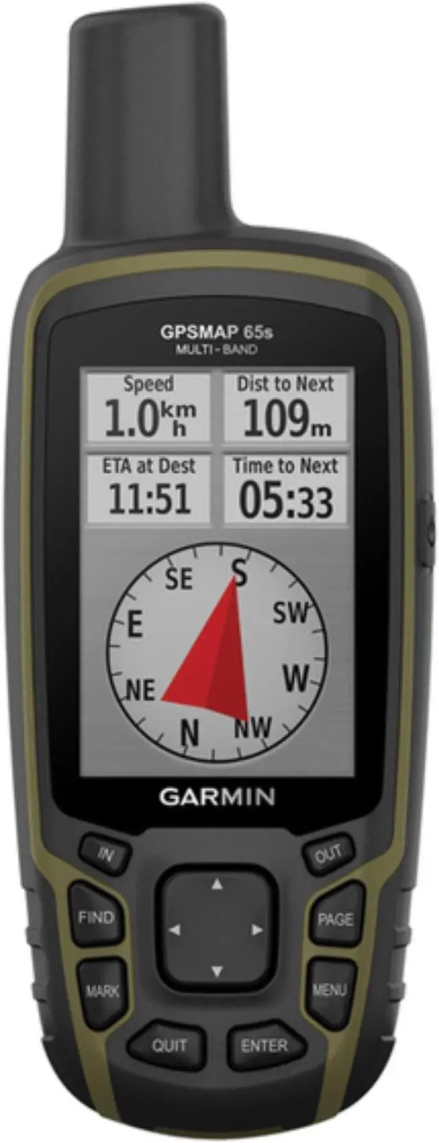
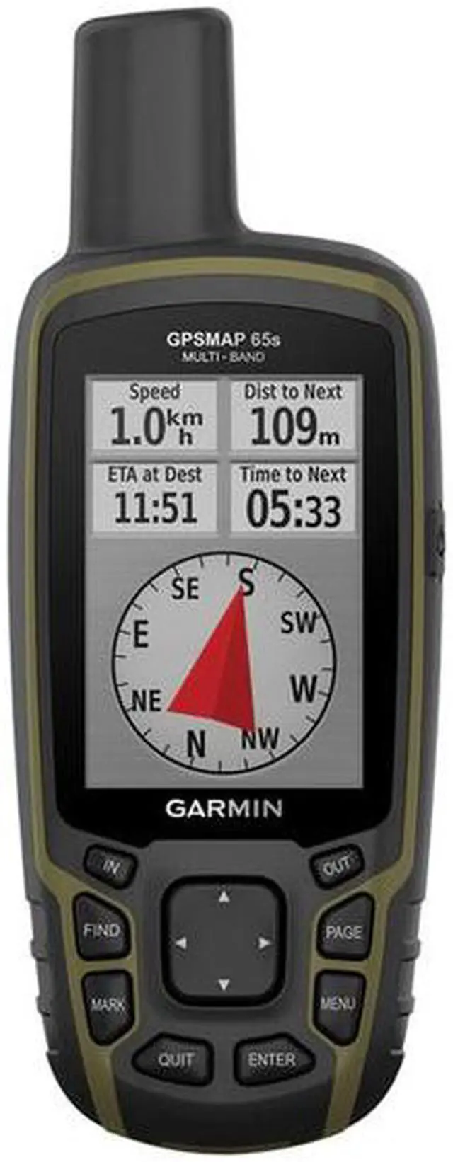
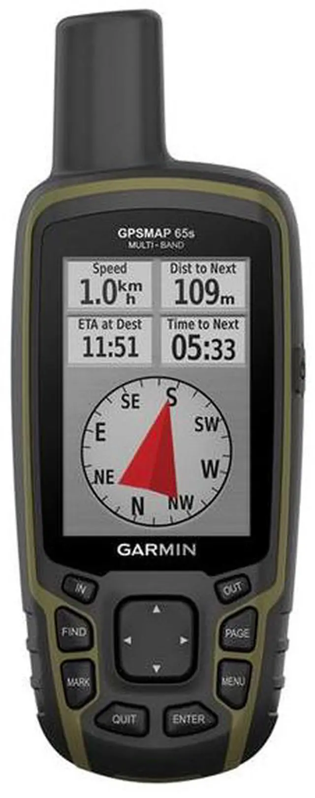


Garmin GPSMAP 65s Handheld GPS Navigator - Handheld - 2.6" - 65000 Colors - Fish Finder - Turn-by-turn Navigation - Bluetooth - USB - 16 Hour - Preloaded Maps - 160 x 240 - Water Proof - 010-02451-10
- Explore more with this rugged handheld that offers multi-band frequency support for our most accurate position to date, a 2.6" color display and preloaded maps.
- Don't miss a detail with this large, sunlight-readable color display.
- Lead the way in challenging locations with multi-band technology and expanded GNSS satellite support.
- Cross the countryside with routable TopoActive maps for the U.S. and Canada.
- Plot your next move with built-in navigation sensors.
- Organize your adventure from anywhere with the Garmin Explore™ website and app.
- Travel with up to 16 hours of battery life in GPS mode.
+
+
Overview
Specs
Reviews

Any questions? Our AI mode will help you find out quickly.
Try me now
Explore more with this rugged handheld that offers multi-band frequency support for our most accurate position to date, a 2.6 color display and preloaded maps. Expanded GNSS Support
Access multiple global navigation satellite systems (GPS, GLONASS, GALILEO and QZSS) to track in more challenging environments. Multi-Band Frequency Support
Receive and utilize multiple frequencies sent by navigation satellites which enables improved user position accuracy, specifically in areas where GNSS signals are reflected, weak or typically do not penetrate. Get superior accuracy using state of the art technology, previously only available to the military. ABC Sensors
Navigate every trail with ABC sensors, including an altimeter for elevation data, barometer to monitor weather and 3-axis electronic compass. Preloaded Topo Maps
Preloaded TopoActive U. S. and Canada maps show you terrain contours, topographic elevations, summits, parks, coastlines, rivers, lakes and geographical points. Public Land Boundaries
An optional display of federal public land boundaries on topographical maps helps you know that youre venturing where youre supposed to be.
Access multiple global navigation satellite systems (GPS, GLONASS, GALILEO and QZSS) to track in more challenging environments. Multi-Band Frequency Support
Receive and utilize multiple frequencies sent by navigation satellites which enables improved user position accuracy, specifically in areas where GNSS signals are reflected, weak or typically do not penetrate. Get superior accuracy using state of the art technology, previously only available to the military. ABC Sensors
Navigate every trail with ABC sensors, including an altimeter for elevation data, barometer to monitor weather and 3-axis electronic compass. Preloaded Topo Maps
Preloaded TopoActive U. S. and Canada maps show you terrain contours, topographic elevations, summits, parks, coastlines, rivers, lakes and geographical points. Public Land Boundaries
An optional display of federal public land boundaries on topographical maps helps you know that youre venturing where youre supposed to be.
Warranty & Returns
Warranty, Returns, And Additional Information
Warranty
- Please contact the Seller directly for warranty information. Warranty information may also be found on the Manufacturer's website.
- Read full details
- CONTACT
Return Policies
- Return for refund within: 30 days
- Return for replacement within: 30 days
- This item is covered by Compute4Less Corp Return Policy
Manufacturer Contact Info
- For a directory of all our manufacturers, please click below.
- Manufacturers Directory
LOADING...