Your Browsing History
Meet Your Seller
ZL190PLUS Land Surveying Equipment, Handheld GPS for Surveying with 3.2 Inch Color Screen, Multi-GNSS Support, 7 Measuring Models for Measuring Land Area, Length,Slope and Save Coordinates Points
Limited time offer, ends 10/15 By QiPing Global Store
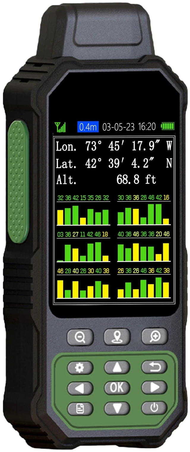
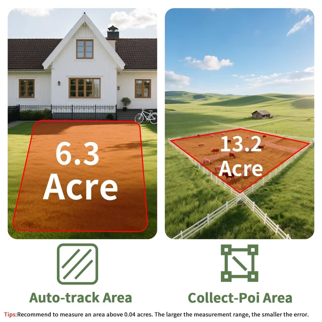
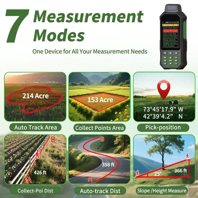
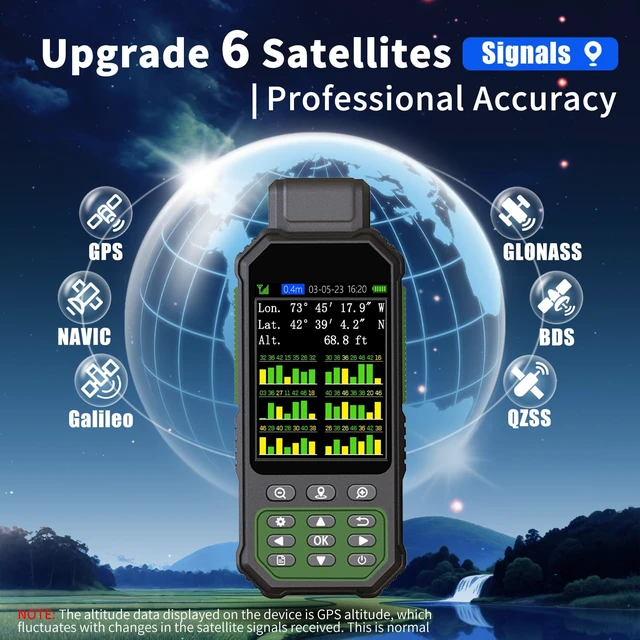
- Large Screen: Large 3.2" sunlight-readable color display with 240 x 320 display pixels for enhanced readability, even in bright sunlight. Professional Accuracy: Supports 6 satellite systems (GPS, Beidou, Galileo, GLONASS, NAVIC, and QZSS) for high-precision measurement, with an area error of < 0.002 acres and a distance error of < 5 ft. 7 Measurement Modes: Supports area measurement of irregular and regular terrain such as ranches and gardens; length measurement of straight and curved lines; height and slope measurement; and saving the coordinate points of the current position. Coordinates can be saved but cannot be modified. Rugged Design with Extended Operation: IP65-rated for excellent durability; powered by an internal 4000 mAh Li-ion rechargeable battery, providing up to 48 hours of continuous use. TIPS: The device must be held horizontally when taking measurements. It is recommended to measure areas above 0.04 acres and distances above 328 ft. The larger the measurement range, the smaller the error. The altitude data displayed on the device is GPS altitude, which fluctuates with changes in the received satellite signals. This is normal. Note: Acquire satellite signals in an unobstructed sky before use. When the signal value in the upper-left corner of the device screen is below 1 m, start using the device to ensure measurement accuracy. This device does not have a map and cannot be used for navigation

+
+
Overview
Specs
Reviews
Any questions? Ask CelesteSM will help you find out quickly.
Try me now
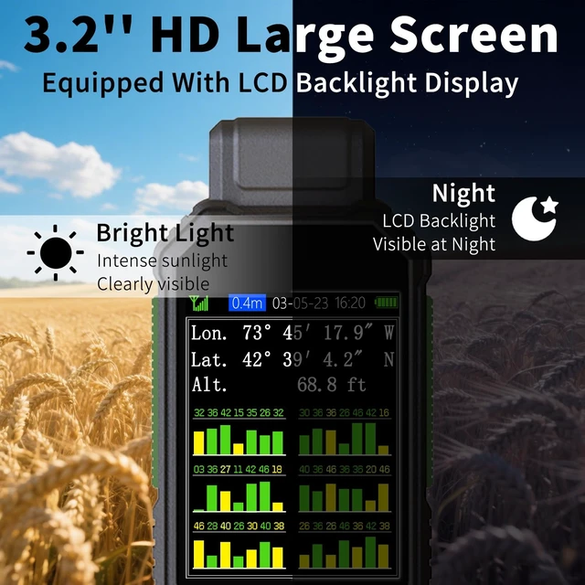
Large Screen: Large 3.2" sunlight-readable color display with 240 x 320 display pixels for enhanced readability, even in bright sunlight.
Professional Accuracy: Supports 6 satellite systems (GPS, Beidou, Galileo, GLONASS, NAVIC, and QZSS) for high-precision measurement, with an area error of < 0.002 acres and a distance error of < 5 ft.
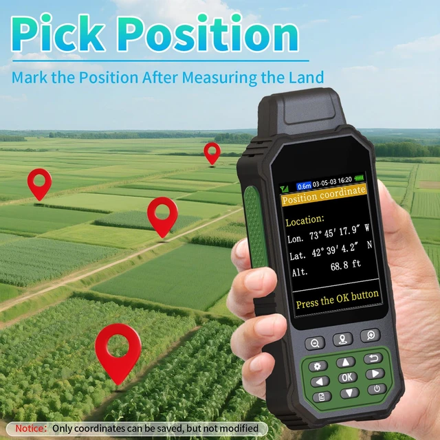
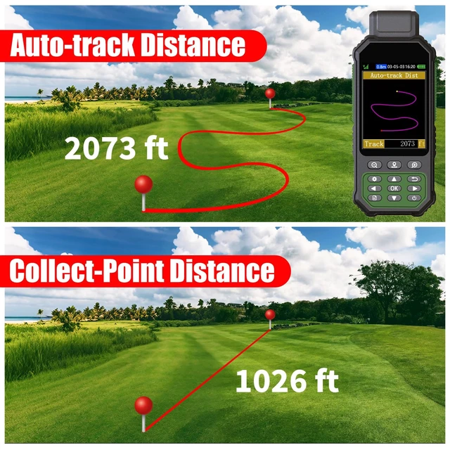
7 Measurement Modes: Supports area measurement of irregular and regular terrain such as ranches and gardens; length measurement of straight and curved lines; height and slope measurement; and saving the coordinate points of the current position. Coordinates can be saved but cannot be modified. Rugged Design with
Extended Operation: IP65-rated for excellent durability; powered by an internal 4000 mAh Li-ion rechargeable battery, providing up to 48 hours of continuous use.
TIPS: The device must be held horizontally when taking measurements. It is recommended to measure areas above 0.04 acres and distances above 328 ft. The larger the measurement range, the smaller the error. The altitude data displayed on the device is GPS altitude, which fluctuates with changes in the received satellite signals. This is normal.
Note: Acquire satellite signals in an unobstructed sky before use. When the signal value in the upper-left corner of the device screen is below 1 m, start using the device to ensure measurement accuracy. This device does not have a map and cannot be used for navigation
Professional Accuracy: Supports 6 satellite systems (GPS, Beidou, Galileo, GLONASS, NAVIC, and QZSS) for high-precision measurement, with an area error of < 0.002 acres and a distance error of < 5 ft.
7 Measurement Modes: Supports area measurement of irregular and regular terrain such as ranches and gardens; length measurement of straight and curved lines; height and slope measurement; and saving the coordinate points of the current position. Coordinates can be saved but cannot be modified. Rugged Design with
Extended Operation: IP65-rated for excellent durability; powered by an internal 4000 mAh Li-ion rechargeable battery, providing up to 48 hours of continuous use.
TIPS: The device must be held horizontally when taking measurements. It is recommended to measure areas above 0.04 acres and distances above 328 ft. The larger the measurement range, the smaller the error. The altitude data displayed on the device is GPS altitude, which fluctuates with changes in the received satellite signals. This is normal.
Note: Acquire satellite signals in an unobstructed sky before use. When the signal value in the upper-left corner of the device screen is below 1 m, start using the device to ensure measurement accuracy. This device does not have a map and cannot be used for navigation
Warranty & Returns
Warranty, Returns, And Additional Information
Warranty
- Please contact the Seller directly for warranty information. Warranty information may also be found on the Manufacturer's website.
- CONTACT
Return Policies
- Return for refund within: 30 days
- Return for replacement within: 30 days
- This item is covered by QiPing Global Store Return Policy
Manufacturer Contact Info
- For a directory of all our manufacturers, please click below.
- Manufacturers Directory
LOADING...