

Your Browsing History
- Free 30-day Returns
$197.46

Meet Your Seller

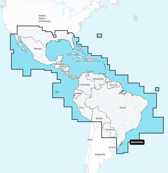


Navionics+ NASA004L - Mexico, Caribbean to Brazil
- Model No : 92603
- Brand : Navionics
- Navionics+ NASA004L - Mexico, Caribbean to Brazil
- UPC : 821245991621
- Weight: 0.2
- Dimensions : 1x6x4
+
+
Overview
Specs
Reviews

Any questions? Our AI beta will help you find out quickly.
Try me now
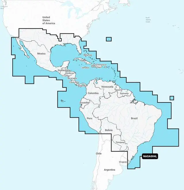
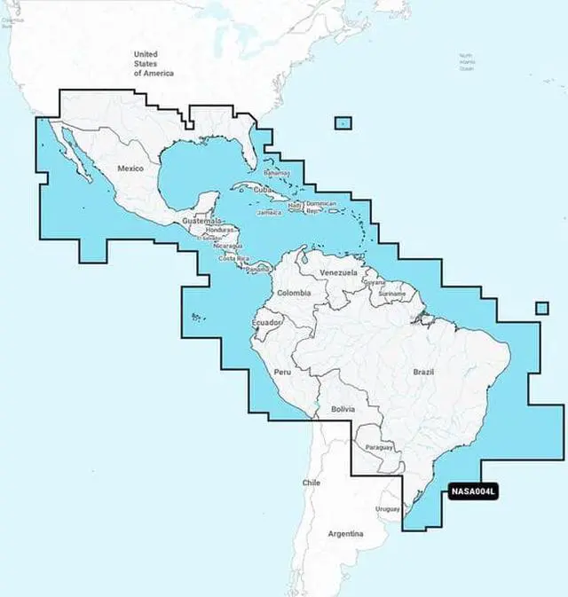
NASA004L - Mexico, Caribbean to BrazilKEY_TAB Get the world’s No. 1 choice in marine mapping - with the best, most up-to-date Navionics+ cartography on your compatible chartplotter.KEY_TAB For offshore or inland waters, this all-in-one solution offers detail-rich integrated mapping of coastal waters, lakes, rivers and more. KEY_TAB Get SonarChart™ 1’ (0.5 meter) HD bathymetry maps, advanced features such as dock-to-dock route guidance technology, live mapping and Plotter Sync to provide wireless access to daily updates.The Navionics Chart Installer software also ensures the freshest chart data every time out. KEY_TAB Navionics dock-to-dock route guidance solutions give you a suggested path to follow through channels, inlets, marina entrances and more. KEY_TAB Multiple shading options aid in shallow water navigation and make it easy to highlight a target depth range for the best fishing spots.Chart Code - NASA004LCoverage Area:Coverage of Mexico, Central America and Brazil. Coverage includes the US Gulf Coast and the eastern US coast to Savannah, GA; Bermuda; the Bahamas; Cuba; Hispaniola; Puerto Rico and the Virgin Islands; the Windward and Leeward Islands; Jamaica; the Panama Canal, the western coast of South America to Arica, Chile; the Galapagos Islands; the Revillagigedo Islands; the Ilha Fernando de Noronha; the Saint Peter and Saint Paul Archipelago and the Rocas Atoll.
- Nautical Chart – Comprehensive charts are derived from multiple officials, government, and private sources, displayed in a familiar look and feel,SonarChart HD Bathymetry - Innovative 1' (0.5 m) bathymetry charts are created by using Navionics proprietary systems that augment existing content with sonar data contributed by the boating community,Community Edits - Get useful local knowledge from edits made by users of the Navionics Boating app on your compatible smart device.,Daily Updates - Up to 5,000 daily updates to our charts give you the most accurate, most current Navionics data available.1,Dock-to-dock Route Guidance2 - Start your trip with a suggested path.,SonarChart Live Mapping - Watch new HD depth maps develop in real-time as your boat moves through the water.,Advanced Map Options - Customize your view to focus on the details that matter most,Plotter Sync1 - Transfer routes and markers, update chart layers, and more - between your compatible chartplotter and the Boating app.,
- Check the compatibility of Navionics+ content and features with your GPS chartplotter.,
- Format - SD/MSD Card,
- SD/MSD Card,
Warranty & Returns
Warranty, Returns, And Additional Information
Warranty
- Please contact the Seller directly for warranty information. Warranty information may also be found on the Manufacturer's website.
- CONTACT
Return Policies
- Return for refund within: 30 days
- Return for replacement within: 60 days
- This item is covered by VirVentures Return Policy
Manufacturer Contact Info
- For a directory of all our manufacturers, please click below.
- Manufacturers Directory
LOADING...