Your Browsing History
Meet Your Seller
A6 Handheld GPS for Hiking,Multi GNSS Support,Rugged Navigator Compact GPS with 2.4" Color Screen, 20 Hours Battery Life for Hiking and All Outdoor Activities
Limited time offer, ends 10/26 By Anunirny
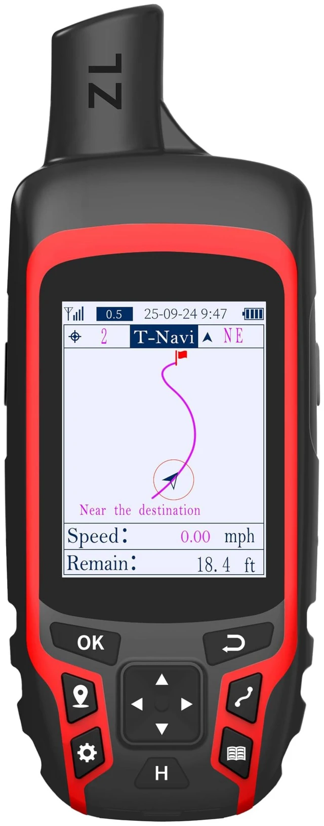
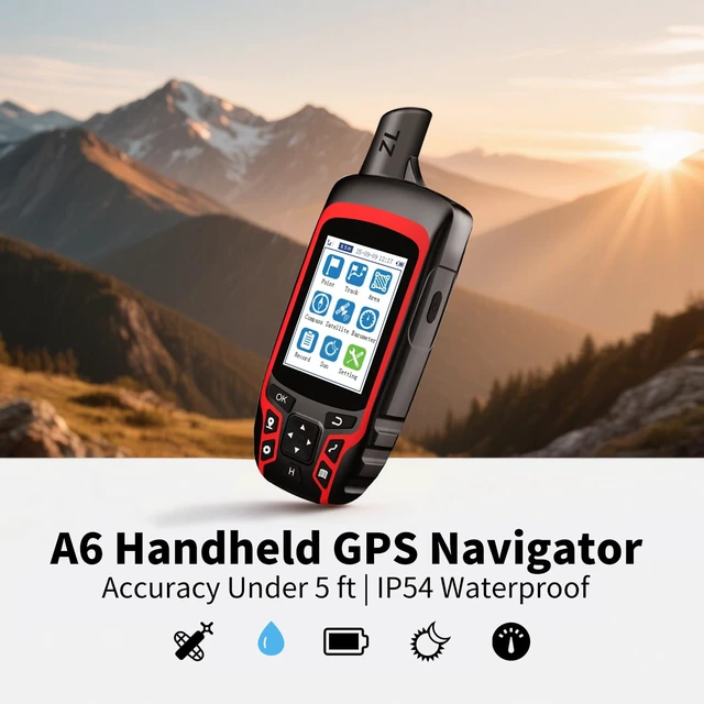
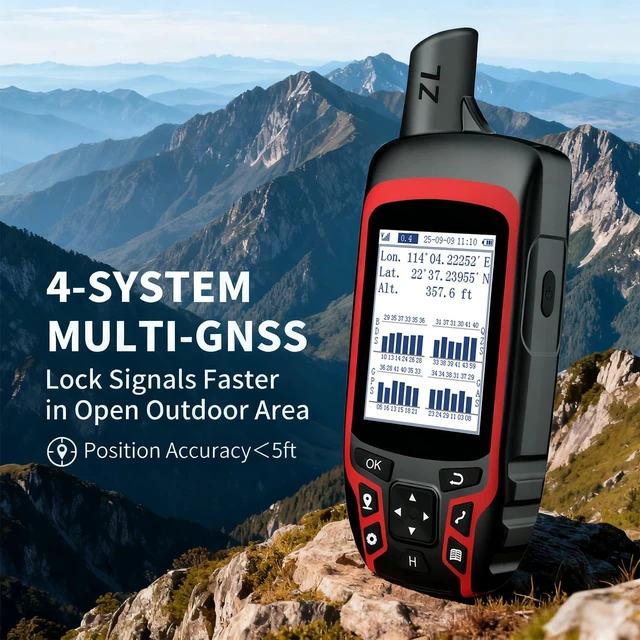
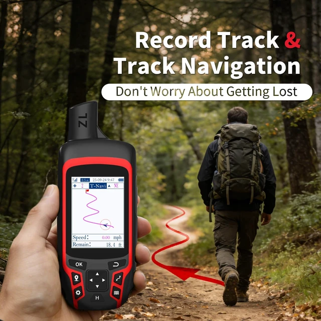
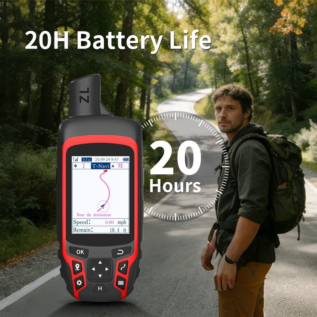
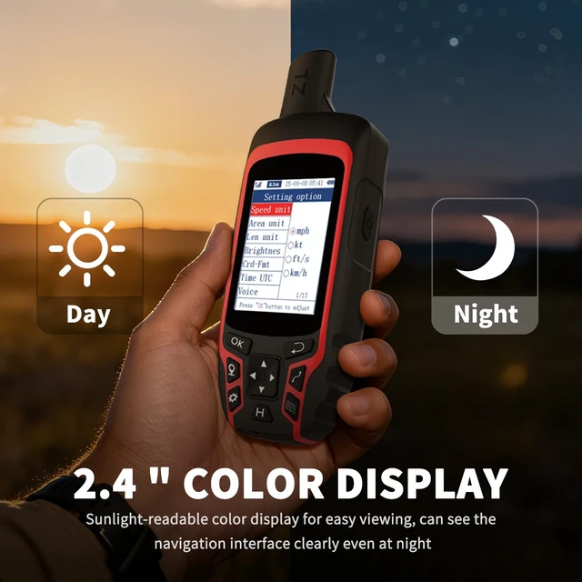
- Compact and lightweight GPS handheld navigator with a bright 2.4" high-resolution color screen so you can easily follow your track. 4 satellites (GPS, Galileo, BeiDou and QZSS) allow you to get optimal accuracy in challenging locations, including steep country, urban canyons and forests with dense trees. Rechargeable battery provides up to 20 hours of use in continuous operation; recharge easily with a standard USB-C cable. Equipped with essential tools like a GPS compass that provides an accurate heading, a barometric altimeter, and sunrise and sunset information (No maps). Track navigation: record your tracks before hiking; it can guide you back to your starting position when you lose your direction, and store waypoints along a track. Note: This handheld GPS does not have maps. Please search for satellite signals under open sky before using. When the signal value in the upper left corner of the device screen is below 1 m, start using it to ensure the accuracy of the device
+
+
Overview
Specs
Reviews
Any questions? Ask CelesteSM will help you find out quickly.
Try me now
Compact and lightweight GPS handheld navigator with a bright 2.4" high-resolution color screen so you can easily follow your track. 4 satellites (GPS, Galileo, BeiDou and QZSS) allow you to get optimal accuracy in challenging locations, including steep country, urban canyons and forests with dense trees. Rechargeable battery provides up to 20 hours of use in continuous operation; recharge easily with a standard USB-C cable. Equipped with essential tools like a GPS compass that provides an accurate heading, a barometric altimeter, and sunrise and sunset information (No maps).
Track navigation: record your tracks before hiking; it can guide you back to your starting position when you lose your direction, and store waypoints along a track.
Note: This handheld GPS does not have maps. Please search for satellite signals under open sky before using. When the signal value in the upper left corner of the device screen is below 1 m, start using it to ensure the accuracy of the device
Warranty & Returns
Warranty, Returns, And Additional Information
Warranty
- Please contact the Seller directly for warranty information. Warranty information may also be found on the Manufacturer's website.
- CONTACT
Return Policies
- Return for refund within: 30 days
- Return for replacement within: 30 days
- This item is covered by Anunirny Return Policy
Manufacturer Contact Info
- For a directory of all our manufacturers, please click below.
- Manufacturers Directory
LOADING...