• $237.99
  • Free 30-day Returns
  • Price alert
    Shop it at NeweggBusiness.

    Meet Your Seller

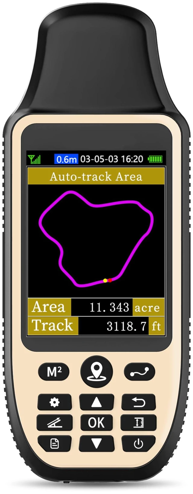
    ZL660 Land Surveying Equipment, Handheld GPS for Surveying 3.2" Color Screen,6 Satellite Systems, 7 Methods for Measuring Land Area, Distance,Slope

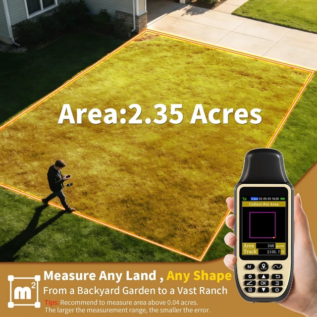
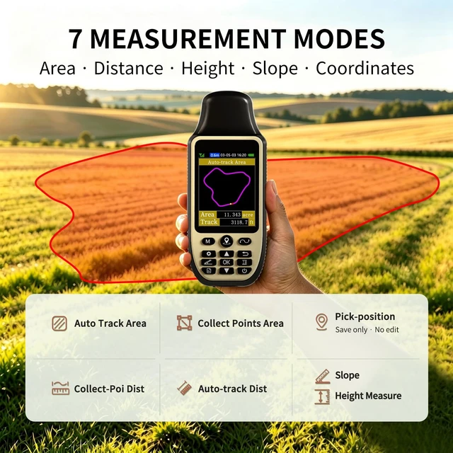
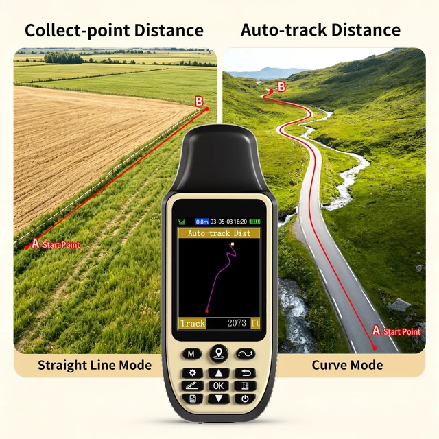
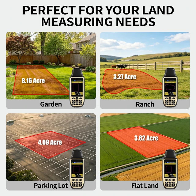
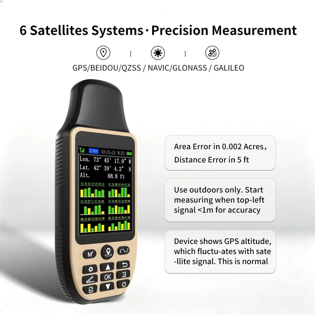
    • 7 Measurement Modes: Measure area, distance, height and slope; save coordinates (save only, no edit). Two area measurement methods for gardens, parking lots, ranches and flat lands; two distance modes for paths, boundaries and irregular routes to measure straight and curved distances. Sunlight-Readable 3.2 Inch Color Screen: 240×320 high-resolution large display. Measurement results show directly on screen for easy viewing, clearly visible even under direct bright sunlight. High Precision Measuring: Supports 6 satellite systems for fast, reliable signal, area measurement error in 0.002 acres, distance error in 5 ft. It cannot search satellite signals indoors. Durable Design: Built-in 4000mAh rechargeable battery supports up to 48 hours of land measuring operation; Rugged IP65-rated design works reliably in all environments. Important Usage Instructions: Search satellite signals in an uncovered sky before using. When the signal value in the upper left corner of the device screen is below 1 m, start using to ensure the accuracy of the device. This device does not have a map and cannot be used for navigation. Measurement Tips: The device needs to be held horizontal for taking measurements. Recommended to measure area above 0.04 acres and distance above 328 ft. The larger the measurement range, the smaller the error. The altitude data displayed on the device is GPS altitude, which fluctuates with changes in the satellite signals received
    +
    +
    Overview
    Specs
    Reviews

    Any questions? Ask CelesteSM will help you find out quickly.

    7
    Measurement Modes: Measure area, distance, height and slope; save coordinates (save only, no edit). Two area measurement methods for gardens, parking lots, ranches and flat lands; two distance modes for paths, boundaries and irregular routes to measure straight and curved distances. Sunlight-Readable 3.2 Inch
    Color Screen: 240×320 high-resolution large display. Measurement results show directly on screen for easy viewing, clearly visible even under direct bright sunlight.
    High Precision Measuring: Supports 6 satellite systems for fast, reliable signal, area measurement error in 0.002 acres, distance error in 5 ft. It cannot search satellite signals indoors.
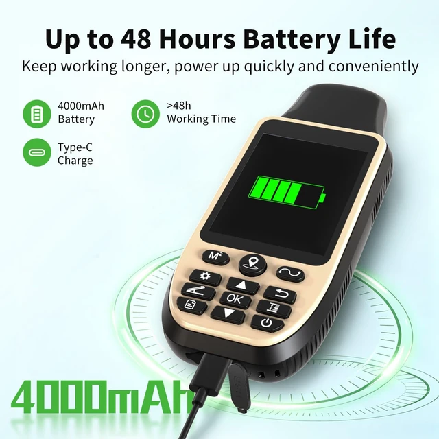
    Durable Design: Built-in 4000mAh rechargeable battery supports up to 48 hours of land measuring operation; Rugged IP65-rated design works reliably in all environments.
    Important Usage Instructions: Search satellite signals in an uncovered sky before using. When the signal value in the upper left corner of the device screen is below 1 m, start using to ensure the accuracy of the device. This device does not have a map and cannot be used for navigation.
    Measurement Tips: The device needs to be held horizontal for taking measurements. Recommended to measure area above 0.04 acres and distance above 328 ft. The larger the measurement range, the smaller the error. The altitude data displayed on the device is GPS altitude, which fluctuates with changes in the satellite signals received

    Warranty & Returns

    Warranty, Returns, And Additional Information

    Warranty

    • Please contact the Seller directly for warranty information. Warranty information may also be found on the Manufacturer's website.
    • CONTACT

    Return Policies

    Manufacturer Contact Info

    LOADING...