Any questions? Our AI beta will help you find out quickly.
Try me now
2.2" LCD Internal Memory: 2 GB Available User Storage: 500 MB Memory 18 Hours Battery Life 2 x AA
Learn more about the Detailed Specifications
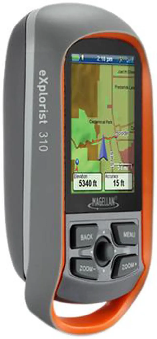
Model
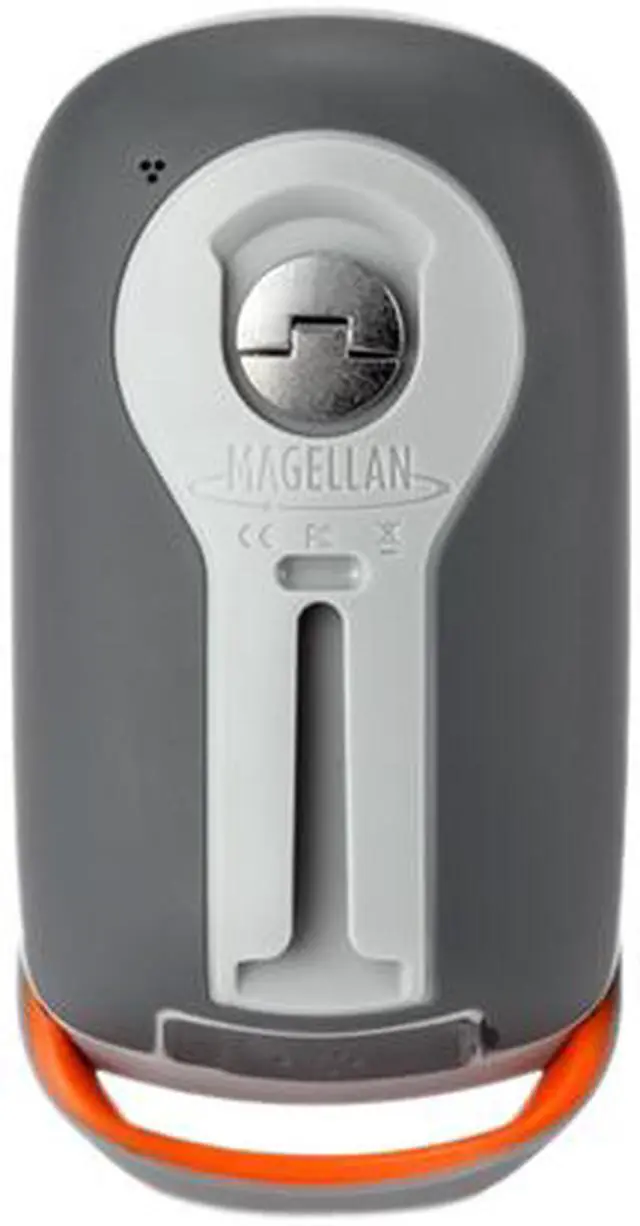
Brand
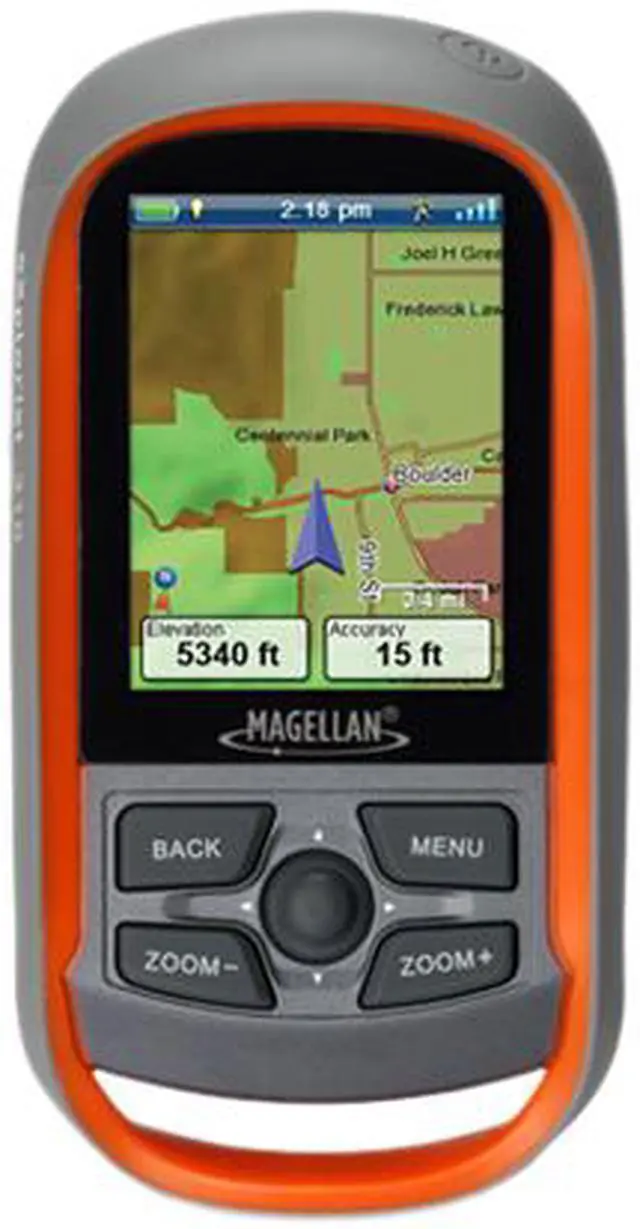
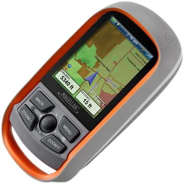
MAGELLAN
Type
Handheld
Details
SBAS
WAAS/EGNOS/MSAS
Receiver
SiRFstarIII
Antenna
Multidirectional Patch
Accuracy (Position)
Up to 3-5 meters
Built-in Speaker
Yes
Map
Pre-loaded Map
Yes
Maps Included
North America
Navigation
Waypoints
1000
Routes
50
System
Processor
400 MHz
Memory
Memory
Internal Memory: 2 GB
Available User Storage: 500 MB
Display
Screen Size
2.2"
Screen Format
LCD
Display Resolution
320 x 240
Display Features
Color, Transflective
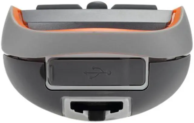
Connections
PC InterFace Supported
USB
Battery
Battery Type
2 x AA
Battery Life
18 Hours
Environmental
Min Operating Temperature
14°F
Max Operating Temperature
140°F
Features
GPS System Features
Easy to Navigate Menus and Rich Graphics A simple main menu, intuitive contextual menus, and vibrant graphics make this device easy to use
Rugged and waterproof to IPX-7 standards Focus on the adventure not protecting the device
Suspend Mode The goal is to conserve battery life by putting the device into an advanced power saving mode. Suspend mode will turn off everything expect for GPS tracking. Wake up the device with a single click.
Paperless Geocaching Download and view more than 20 unique characteristics of each cache and view, search, filter on the device. Details include name, location, description, hider, size, difficulty, terrain, hint, spoilers, and last 20 user logs among a number of other details.
Record Tracks and See "Breadcrumbs" on the Map Screen Keep a log of all the steps you took throughout the day. Reference your track to find your way back or to keep a digital journal of all your outdoor adventures
Track Summary Start your journey with one-click and keep tabs on useful statistics such as distance travelled, average speed, elevation gain and descent, and average time to find
NMEA Message Output (USB Only) For hardcore outdoor GPS enthusiasts who want to connect their device to laptop running VantagePoint software and see your position on computer screen.
Multiple Coordinates and Map Datums Navigate around the world and do it accurately. See your geographic location in UTM coordinates or reference the OS Grid for use in Great Britain