

Your Browsing History
- Free 30-day Returns
$122.99

Meet Your Seller




ZL180 Handheld GPS for Surveying, High Precision Rugged Land Surveying Equipment for Ranches, Garden, Farmland and Parking Area Distance Measuring
Limited time offer, ends 09/14 By Fornierwoly
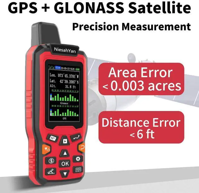
- HIGH PRECISION ACCURACY: Provides 2 high-sensitivity satellites with global GPS + GLONASS coverage for dependable surveying around the world, fast positioning, and a stable signal. Area measurement error is 0.003 acres. This device cannot be used to save waypoints or for navigation. LARGE LCD: Features a 2.4-inch FSTN panel with an LCD backlight. Measurement results are displayed directly on the screen for easy viewing. RUGGED DESIGN: Weighs approximately 180g/6.3oz and has a compact design for convenient carrying. The ergonomic groove design makes it easy to hold and helps prevent the device from falling during use. 4-IN-1 MEASUREMENT: Includes 2 area measurement methods for measuring gardens, parking lots, ranches, and flat fields, as well as 2 distance measurement methods for measuring straight-line and curved-line distances. PLEASE NOTE: Search for satellite signals in an open outdoor area before using this device. No signal can be found indoors. When the signal value in the upper-left corner of the device screen is below 1 m, start measuring to help ensure measurement accuracy. TIPS: Measure an area above 0.05 acres and a distance above 328 ft. The larger the measurement range, the smaller the error. Hold the device horizontally during measurement. NOTE: The altitude data displayed on the device is GPS altitude and changes with the satellite signal. This is normal. This device is intended only for measuring land area and cannot be used to save waypoints or for navigati
+
+
Overview
Specs
Reviews

Any questions? Our AI mode will help you find out quickly.
Try me now
HIGH PRECISION ACCURACY: Provides 2 high-sensitivity satellites with global GPS + GLONASS coverage for dependable surveying around the world, fast positioning, and a stable signal. Area measurement error is 0.003 acres. This device cannot be used to save waypoints or for navigation.
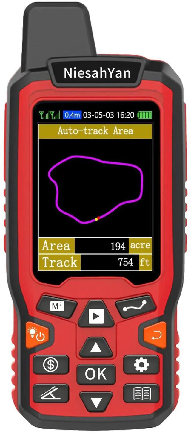
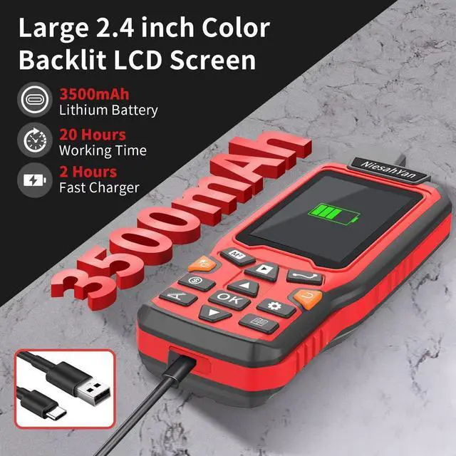
LARGE LCD: Features a 2.4 -inch FSTN panel with an LCD backlight. Measurement results are displayed directly on the screen for easy viewing.
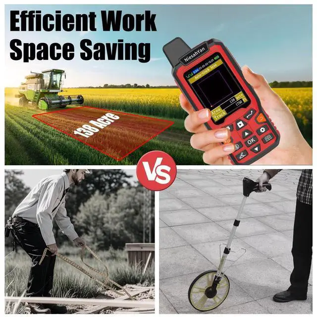
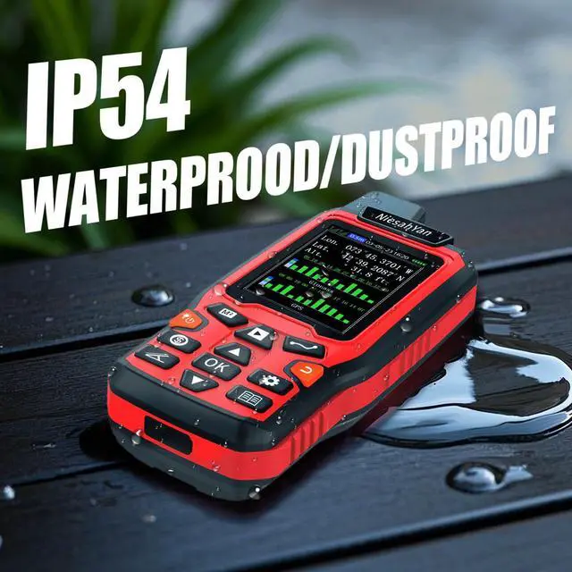
RUGGED DESIGN: Weighs approximately 180g/ 6.3 oz and has a compact design for convenient carrying. The ergonomic groove design makes it easy to hold and helps prevent the device from falling during use.
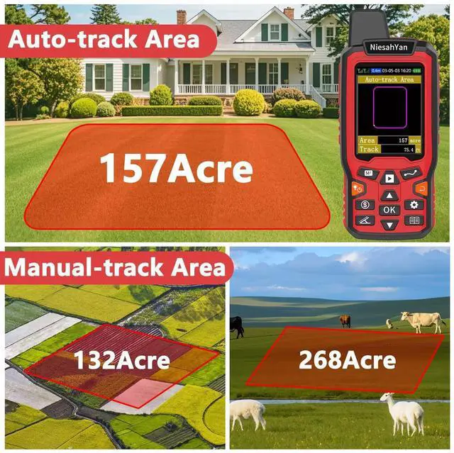
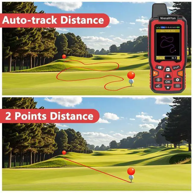
4-IN-1 MEASUREMENT: Includes 2 area measurement methods for measuring gardens, parking lots, ranches, and flat fields, as well as 2 distance measurement methods for measuring straight-line and curved-line distances.
PLEASE NOTE: Search for satellite signals in an open outdoor area before using this device. No signal can be found indoors. When the signal value in the upper-left corner of the device screen is below 1 m, start measuring to help ensure measurement accuracy.
TIPS: Measure an area above 0.05 acres and a distance above 328 ft. The larger the measurement range, the smaller the error. Hold the device horizontally during measurement.
NOTE: The altitude data displayed on the device is GPS altitude and changes with the satellite signal. This is normal. This device is intended only for measuring land area and cannot be used to save waypoints or for navigation
LARGE LCD: Features a 2.4 -inch FSTN panel with an LCD backlight. Measurement results are displayed directly on the screen for easy viewing.
RUGGED DESIGN: Weighs approximately 180g/ 6.3 oz and has a compact design for convenient carrying. The ergonomic groove design makes it easy to hold and helps prevent the device from falling during use.
4-IN-1 MEASUREMENT: Includes 2 area measurement methods for measuring gardens, parking lots, ranches, and flat fields, as well as 2 distance measurement methods for measuring straight-line and curved-line distances.
PLEASE NOTE: Search for satellite signals in an open outdoor area before using this device. No signal can be found indoors. When the signal value in the upper-left corner of the device screen is below 1 m, start measuring to help ensure measurement accuracy.
TIPS: Measure an area above 0.05 acres and a distance above 328 ft. The larger the measurement range, the smaller the error. Hold the device horizontally during measurement.
NOTE: The altitude data displayed on the device is GPS altitude and changes with the satellite signal. This is normal. This device is intended only for measuring land area and cannot be used to save waypoints or for navigation
Warranty & Returns
Warranty, Returns, And Additional Information
Warranty
- Please contact the Seller directly for warranty information. Warranty information may also be found on the Manufacturer's website.
- CONTACT
Return Policies
- Return for refund within: 30 days
- Return for replacement within: 30 days
- This item is covered by Fornierwoly Return Policy
Manufacturer Contact Info
- For a directory of all our manufacturers, please click below.
- Manufacturers Directory
LOADING...