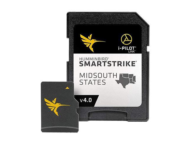
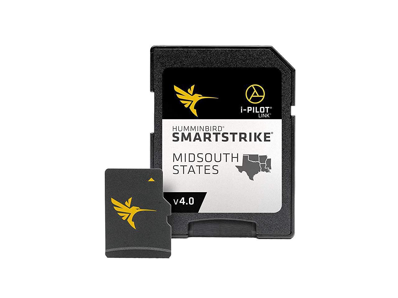
Size: LakeMasterMaximize every moment of fishing when you upgrade to the unrivaled accuracy and detail of LakeMaster mapping, which features easy-to-read contours, highlighted depth ranges, and scrollable lake lists. LakeMaster digital maps provide the most detailed, high-definition collection of freshwater mapping in the United States, with unmatched depth contours between 1-3 feet (in high definition) or 3-5 feet (standard definition). This Mid-South States Edition, Version 5 boasts more than 270 high-definition lakes and more than 385 total lakes from TX, OK, AR, LA, and MS, adding over 65 new lakes since the prior version. New high-definition lake map data includes Brady Branch Reservoir, Caddo, DeQueen (AR), Eufaula (OK), Grand Lake of the Cherokees, Livingston, Nacodgoches, Norfork, Robert S Kerr, Skiatook, Tawakoni and more. Easy-to-see shading highlights shallow-water areas within an adjustable range up to 30 feet, and depth contours and shorelines can be synchronized with the actual water levels of lakes, reservoirs, and rivers. LakeMaster digital maps can be used with Minn Kota i-Pilot Link (sold separately), allowing you to follow a selected depth contour line to deliver precise, automatic boat control.
Collected by 's own team of GIS analyst cartographers, LakeMaster high-definition maps are created from on-the-water surveys using hundreds of thousands of depth soundings, plus state-of-the-art GPS and sonar technologies. LakeMaster digital maps come on a Micro SD card (with included SD card adapter) that's compatible with all GPS-equipped HELIX, SOLIX, ONIX, and ION Series models and select 600-1100 Series models. Strictly intended for use in your GPS unit, LakeMaster mapping cards are not PC compatible and map files could be corrupted if accessed on a computer.